
Fortress Mountain Scramble
Gallery / Photos


Level:
Time/Dist
Elevation Gain
Description
Trailhead: Park at the Chester Lake parking lot located on the east side of #40 gravel highway Smith Dorrien Spray Lakes road. 46kms south of Canmore across from the Burstall Pass parking lot. Note, Gravel road access only. Kananaskis Country.
Description: Recommended for experienced hikers only. Locate the trail head on the far left side of the Chester Lake parking lot. If you decide to do the Headwall Chester Lake loop the trailhead to Headwall Lakes is located on the right side of the parking lot.
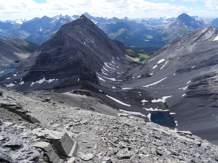
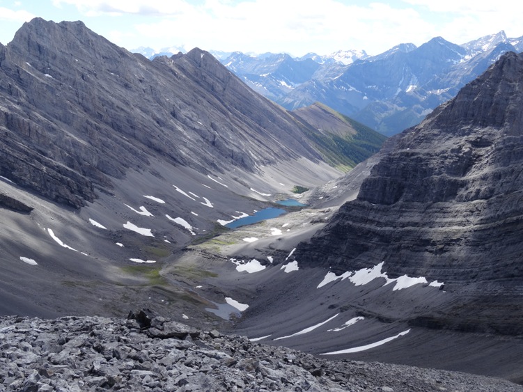
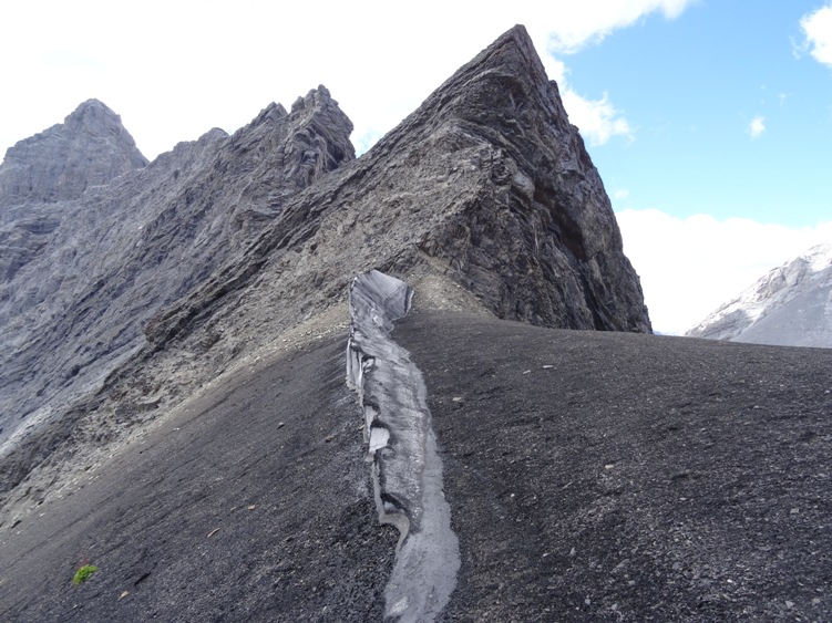
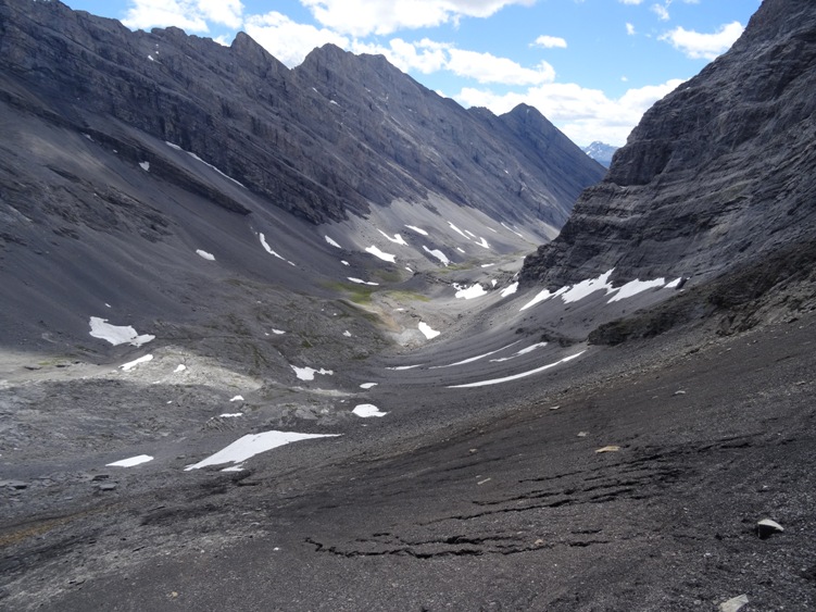
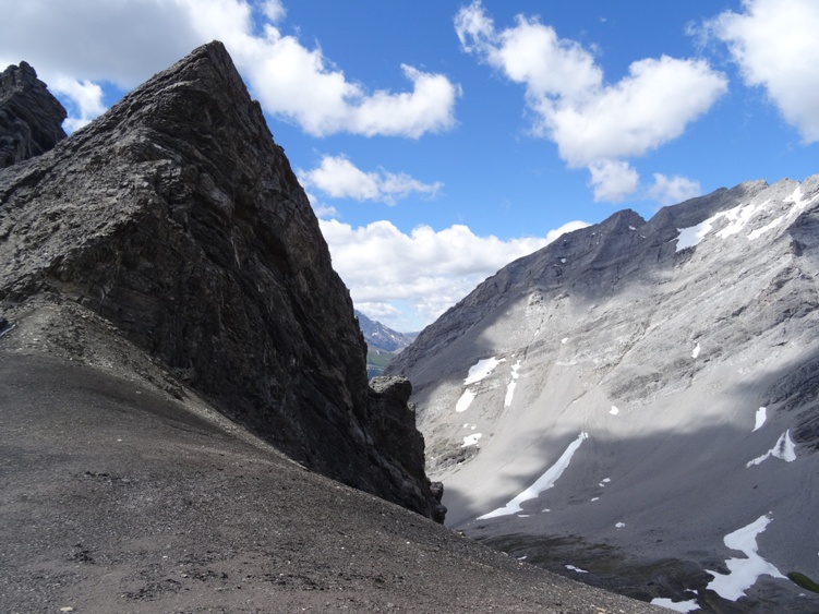
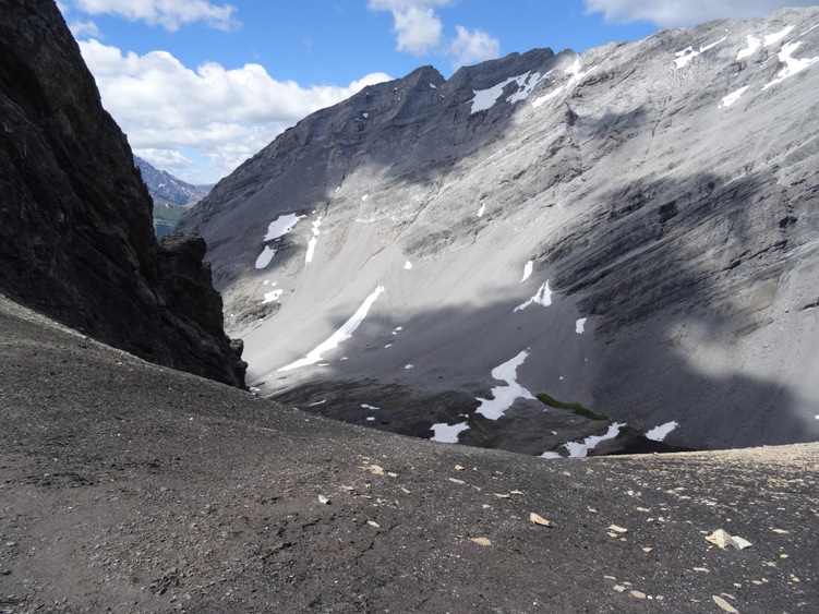
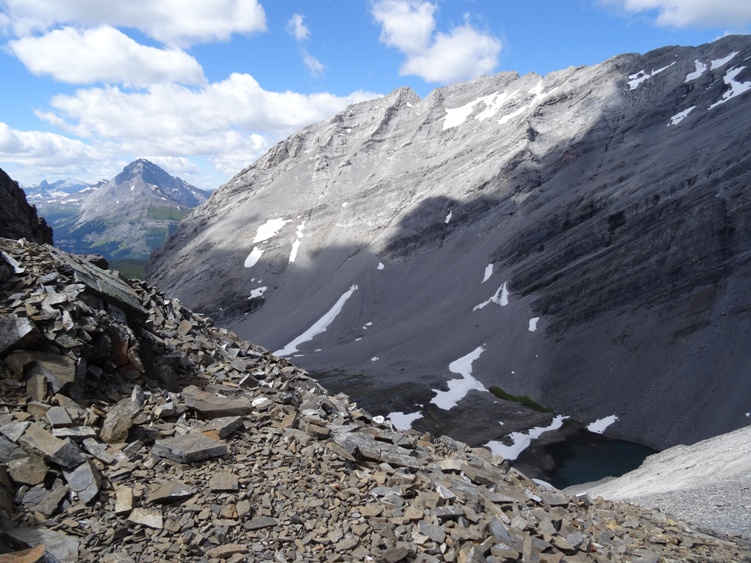
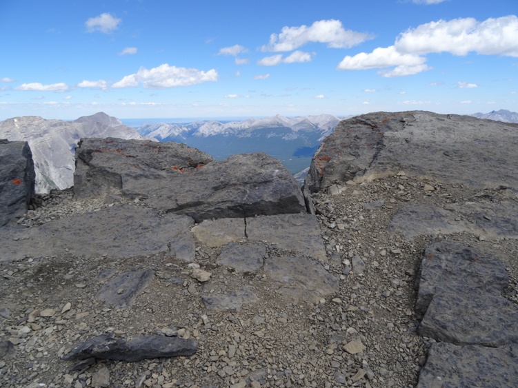
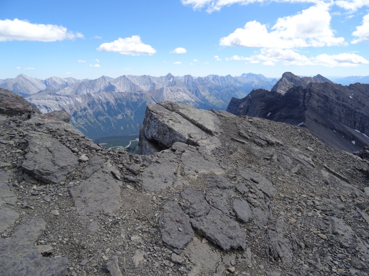
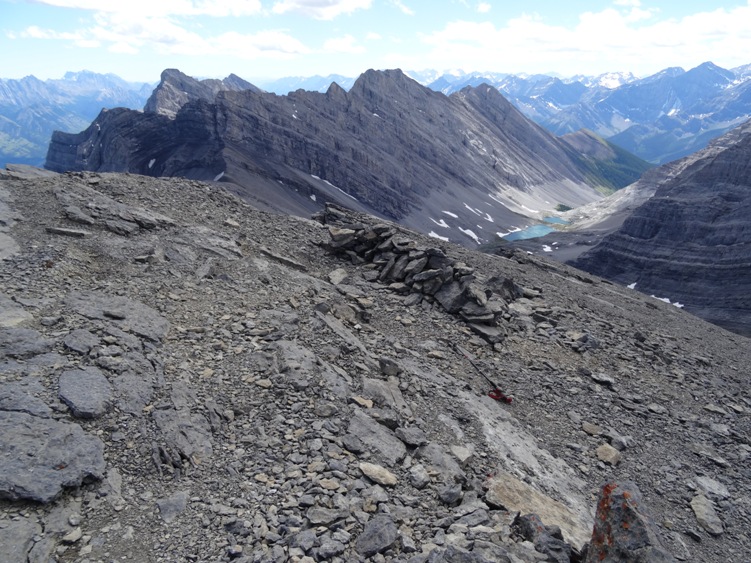
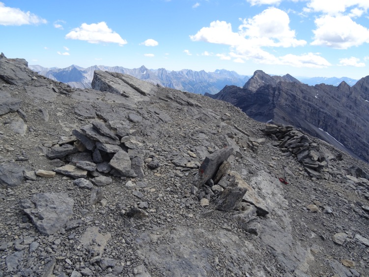
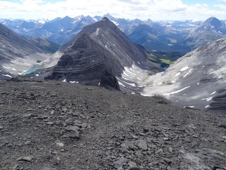
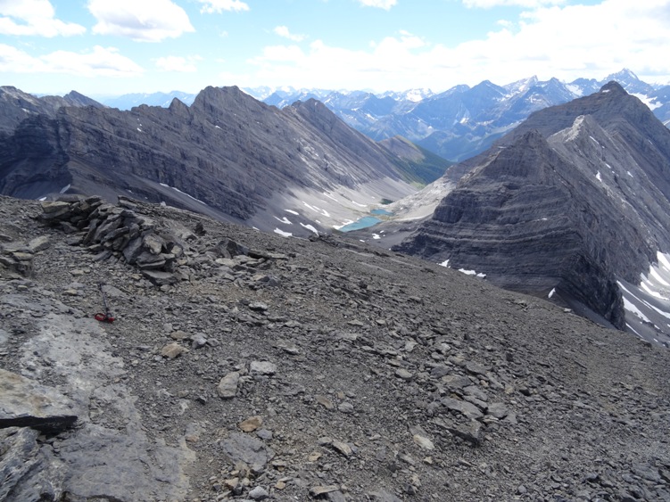
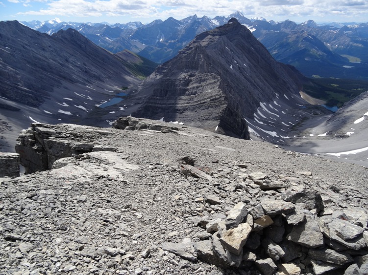
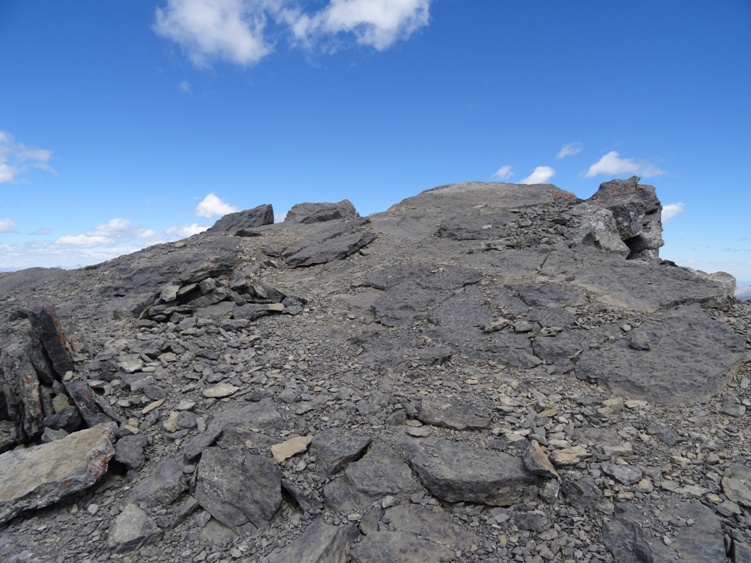
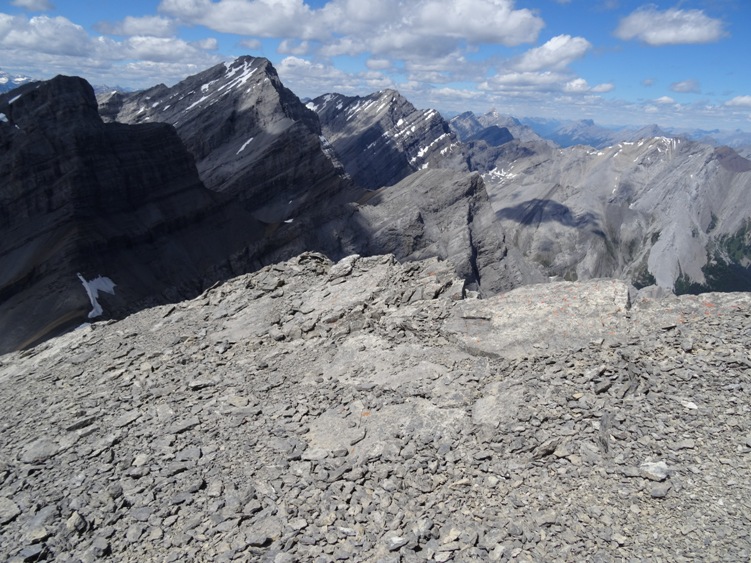
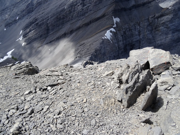
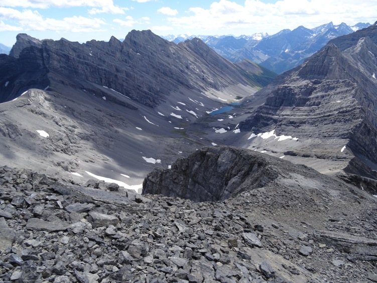
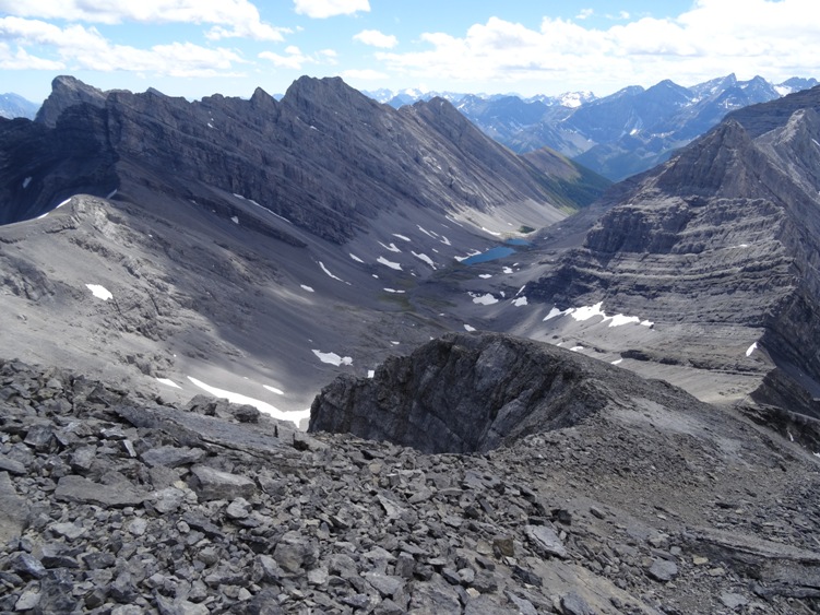
Follow the trail to Chester Lake. Hike past the lake towards and ascend the left side of the headwall. Continue on another 2kms then ascend the steep scree slope to the col located below Fortress Mountain. Once you arrive at the col follow the scree trails to the summit of Fortress Mountain.
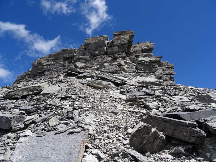
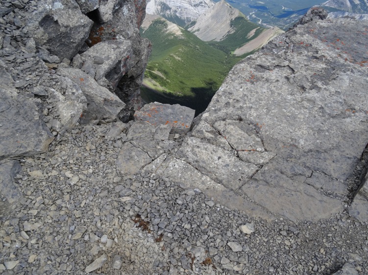
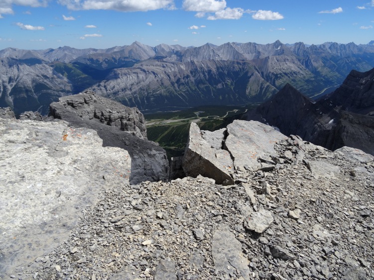
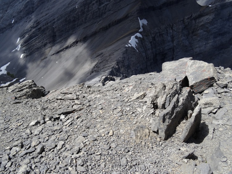
There is a short 3 meter cliff band located just below the summit that is considered an easy scramble with good footing on small ledges however the summit is exposed to a 900 meter cliff dropping straight down it’s north face. Resist the urge to take a photo of Fortress Lake located below. The cliff edge is loose and fractured rock.
Expect 6-8 hours to do the full 20km loop and Fortress Mountain. See Headwall Lakes for more information regarding the loop. If you just want to summit Fortress Mountain, Chester Lake is a shorter route. You are in bear country


Add Review