
Mount Lipsett Hike
Gallery / Photos


Level:
Time/Dist
Elevation Gain
Description
Trailhead: Park in the ditch on the east side of highway #40. 13kms south of Highwood Pass. 180kms west of Calgary. Note: Highway #40 is closed at the Upper Lakes and Highwood House Junction from Dec 1st to June 14th for wildlife preservation.
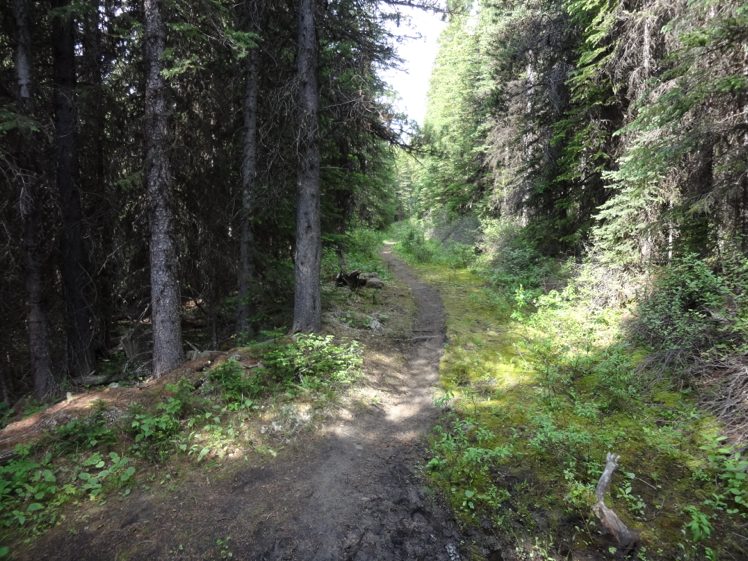
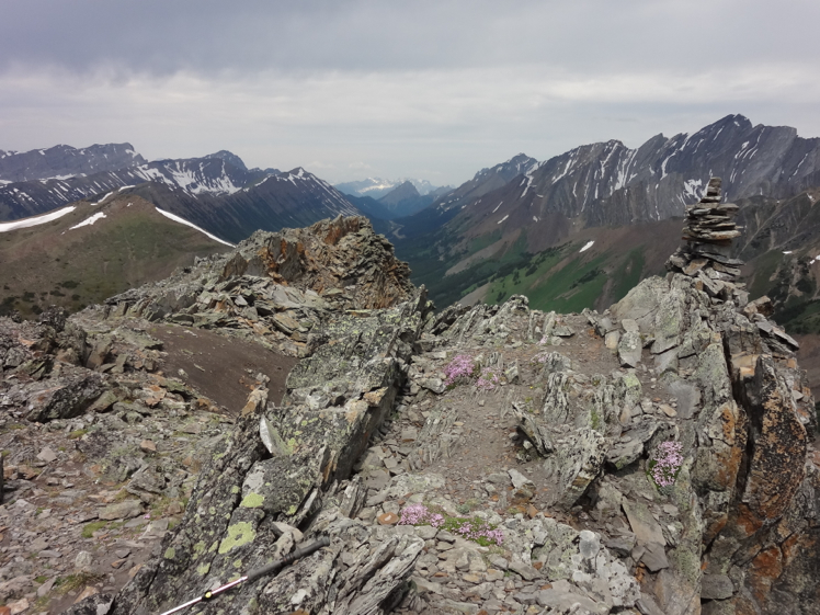
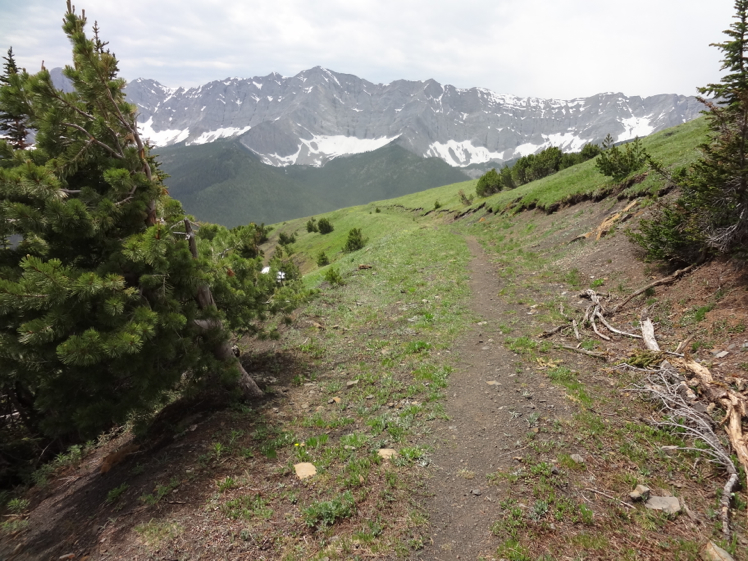
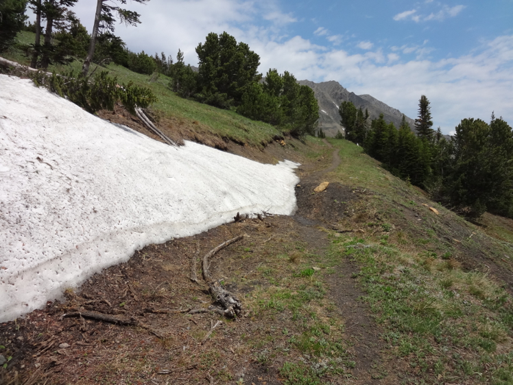
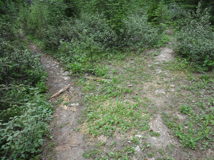
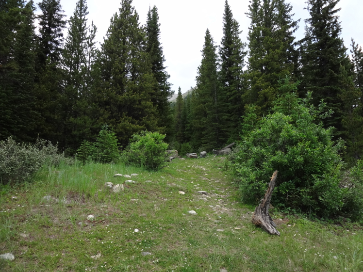
Description: Locate the trailhead next to 4 large boulders near the trees. The trail is an old mining road that leads to the top of Mount Lipsett. Continue up the trail a short distance then turn left at a trail junction. Near the start you can expect several muddy sections created by underground streams.
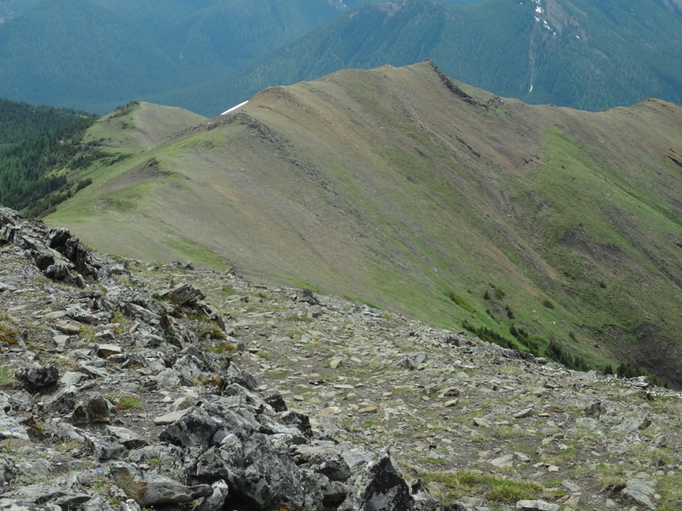
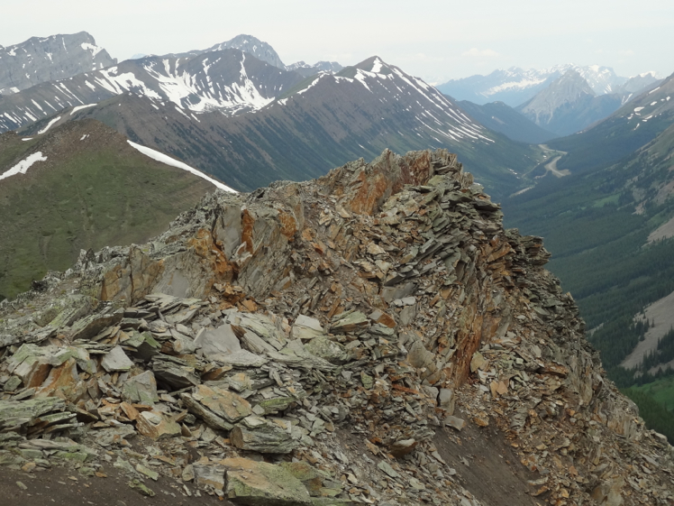
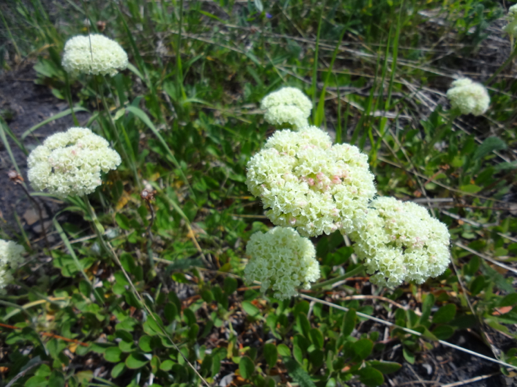
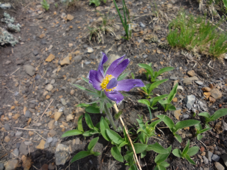
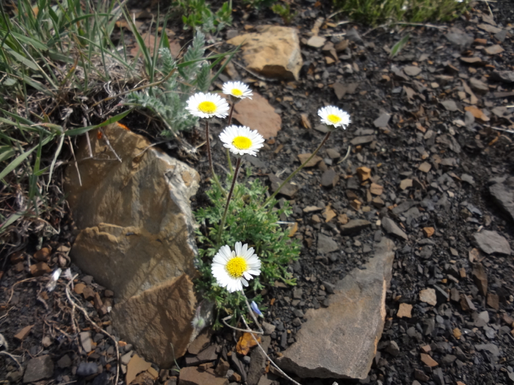
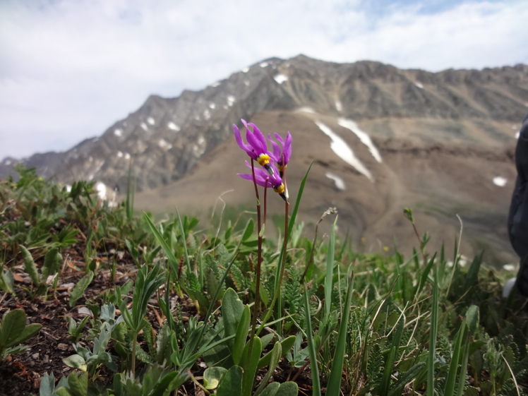
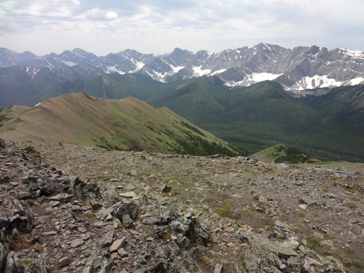
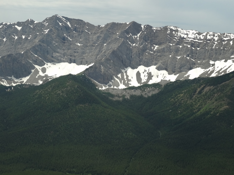
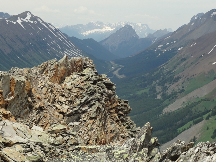
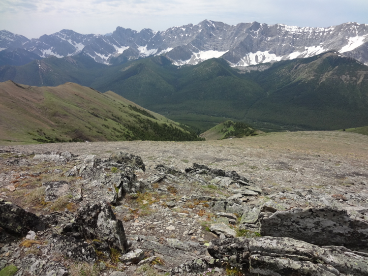
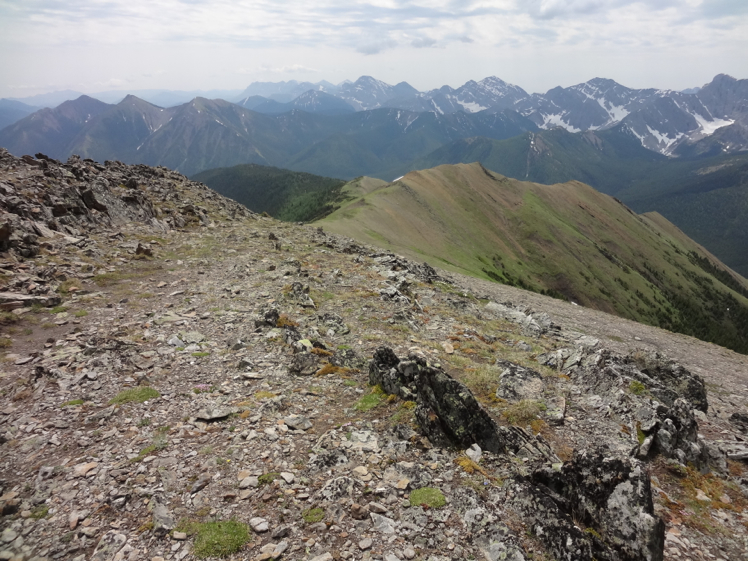
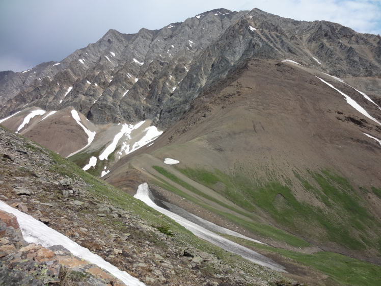
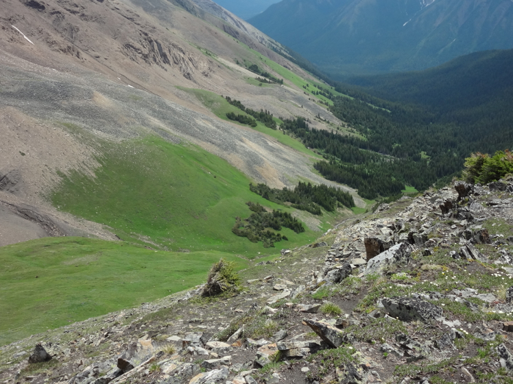
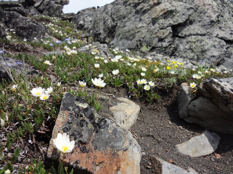
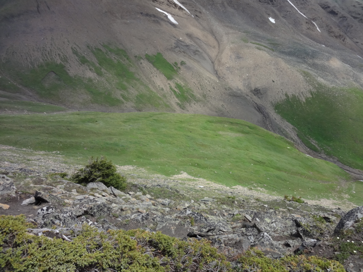
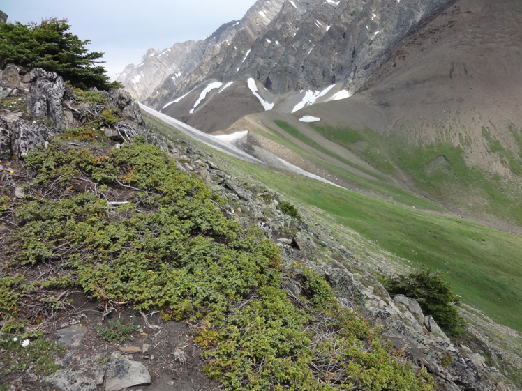
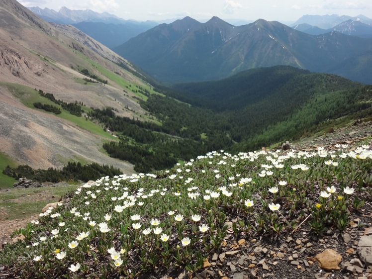
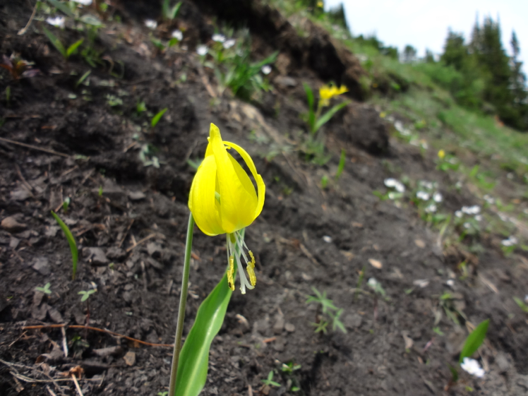
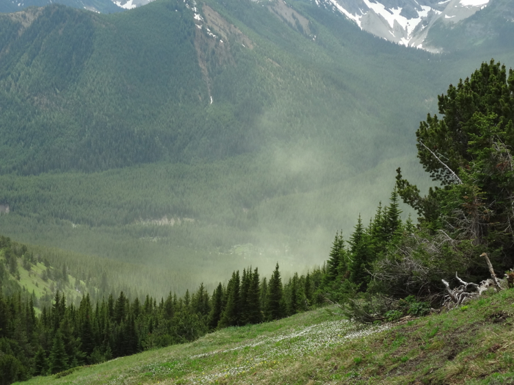
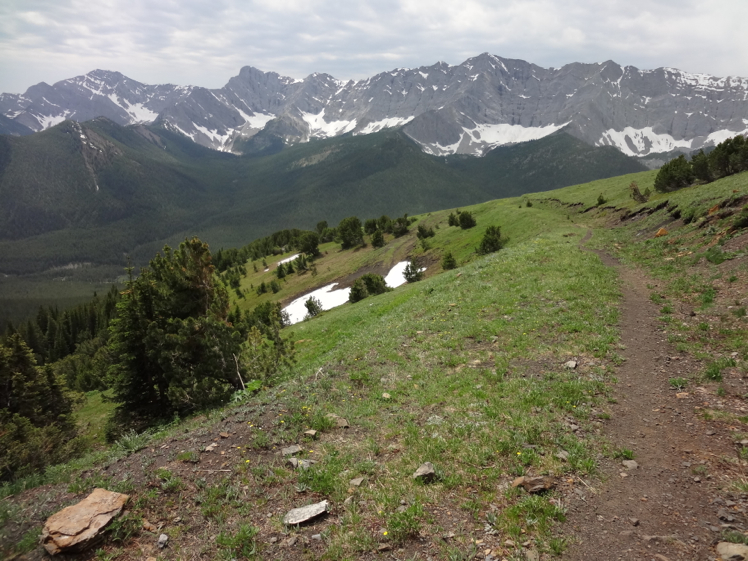
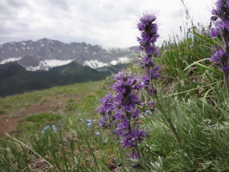
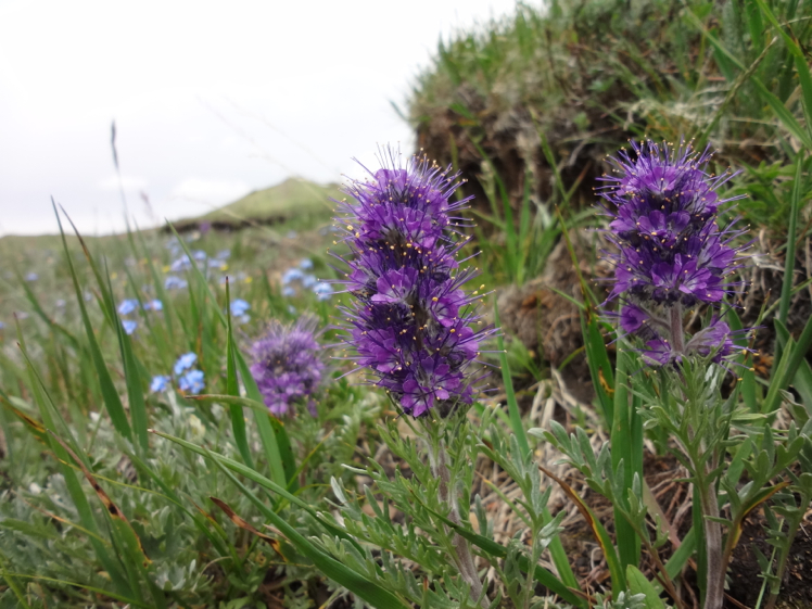
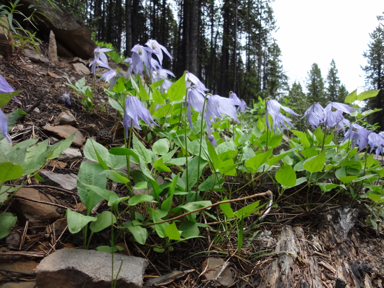
After about an hour or so beautiful views of the valley below will keep you company as you continue up the old road. An abundance of wildflowers paint the meadows located below the ridge and are in full bloom from late June to Late August. Once you arrive at the ridge, stay right avoiding a dead end road that spurs off west towards another short ridge. Work your way up to the summit cairn while enjoying the views on both sides of the ridge. Mist Mountain towers above to the east and makes you feel lower than you actually are. Views from the summit are absolutely stunning and well worth the effort. You are in bear country
Items Reviewed - 2
The meadows are beautiful and seem to go on forever.


Add Review