
Saskatchewan Glacier Hike
- Viewed - 24
Gallery / Photos


Level:
Time/Dist
Elevation Gain
Description
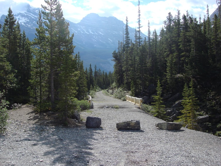
Trailhead: Saskatchewan Glacier is located near the Columbia Icefields 117kms south of Jasper and approximately 100kms north of Lake Louise. This is an unmarked unofficial trail. Park at the old abandoned concrete bridge just before big bend on the Jasper Park highway. Banff National Park.
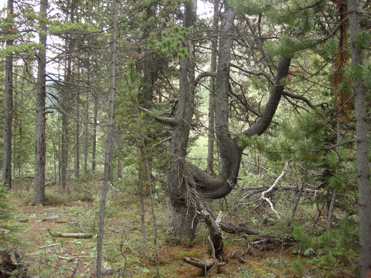
Description: The gravel entrance to the old bridge is slowly eroding away and may be gone in a few years. If so park at the big bend rest stop. Cross the old bridge and take the trail on your right which leads west along the North Saskatchewan River. Drop down onto the gravel flats and follow the old road tracks until you reach the trees.
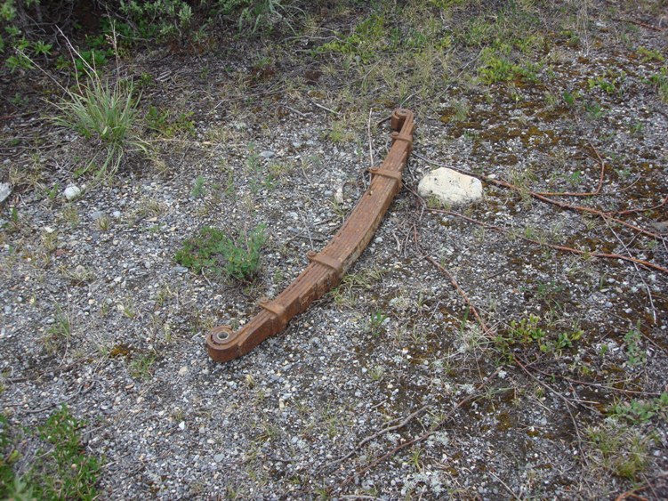
Find the grown over old road that was built in the 1930’s by the U.S. Army’s 87th Mountain Division. The Army Division set up a camp on the Saskatchewan Glacier to test winter equipment. There are still old parts of vehicles scattered here and there. Logs that were used for this camp can still be found high up on the glacier.
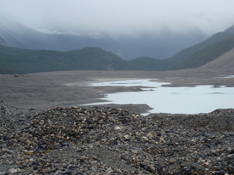
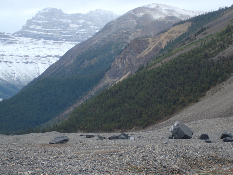
Follow the old road up through what used to be the terminal moraine of the Saskatchewan Glacier. Keep in mind that this is the only practical route in and out of the entire valley so beware of bears. Grizzly Bears crossing over the Columbia Icefields area may pass through from Parker Ridge, Wilcox Pass and Castleguard Meadows. We ran into a Grizzly crossing the expansive ground moraine.
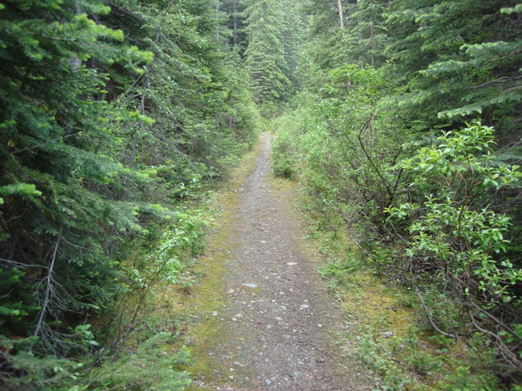
Follow the old road down the other side until you arrive at an old log food stash that was built by the Alpine Club of Canada in the 1950’s. There are two routes from here. The first and safest day hike route follows the existing old road straight ahead on the south Side of the North Saskatchewan River. This first route is absolutely beautiful but you cannot get as close to the Saskatchewan Glacier due to an impassable south lateral moraine.
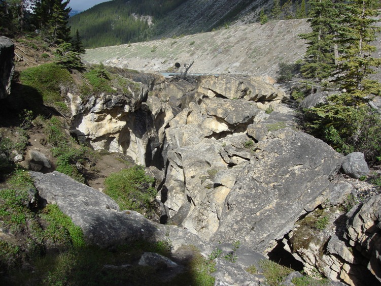
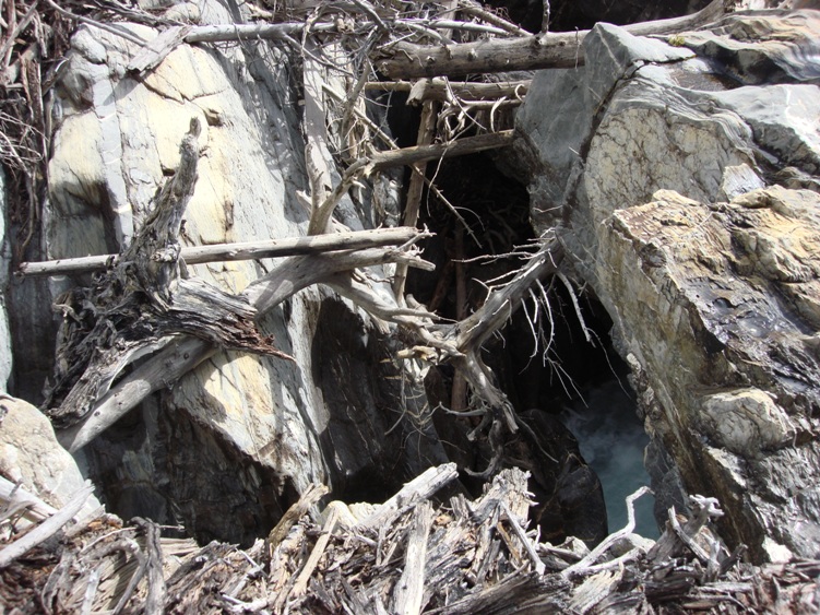
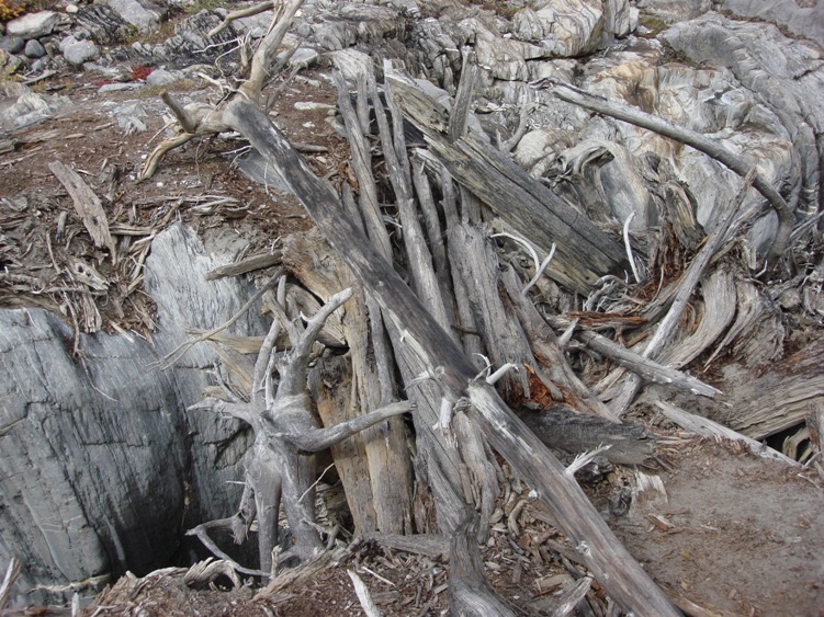
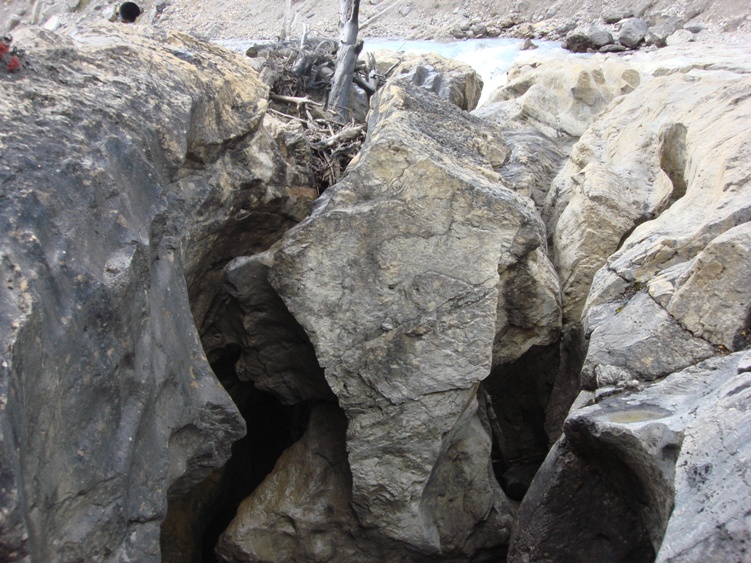
The second more dangerous route is mainly used by climbers. You’ll have to cross a very deep nasty looking canyon that is bridged by a pile of old logs. The North Saskatchewan River disappears down this canyon and reappears back at big bend on the Jasper Park Highway. From the old food stash, follow a worn trail on your right towards a bunch of rotting logs that form a precarious bridge across the river canyon.
Don’t confuse the initial log jam as the bridge. The natural log bridge is a few meters further down from the log jamb. Be very careful here, if you fall into the canyon it is certain death. Over the years this natural bridge has gone from one very large single log, to several smaller logs. It changes from year to year due to erosion and spring run off. Climbers and cavers are the ones that usually rebuild it or add more logs to it each year. Do not cross this log bridge unless you have the proper mountaineering gear and you’re absolutely sure it is safe. If you have any doubts take the first safer trail on the south side of the North Saskatchewan River and ford the braids.
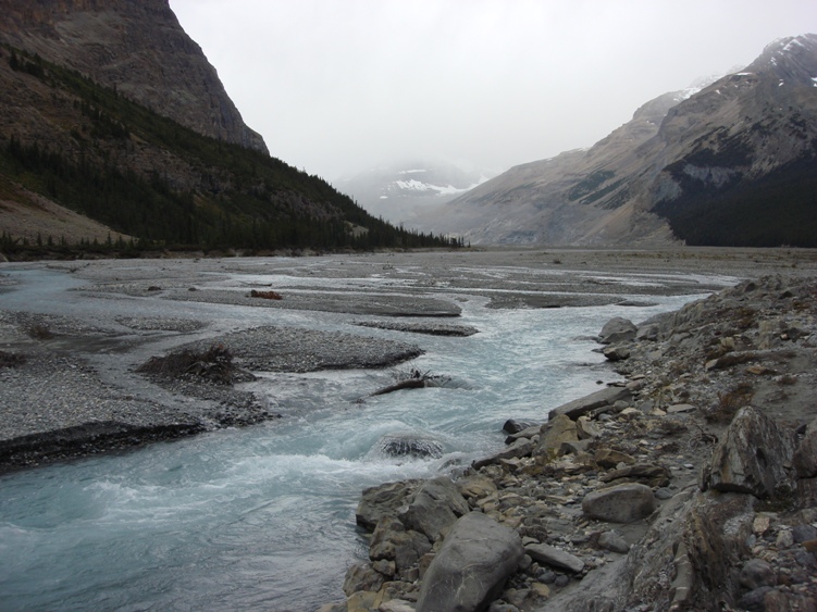
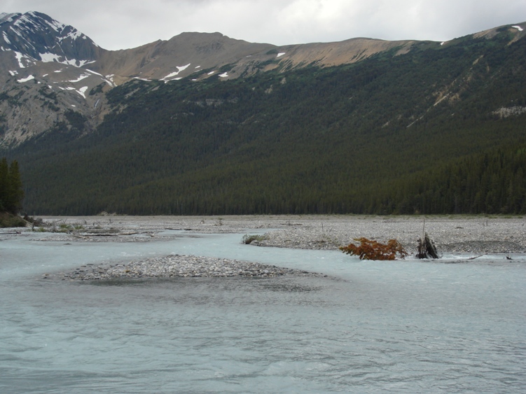
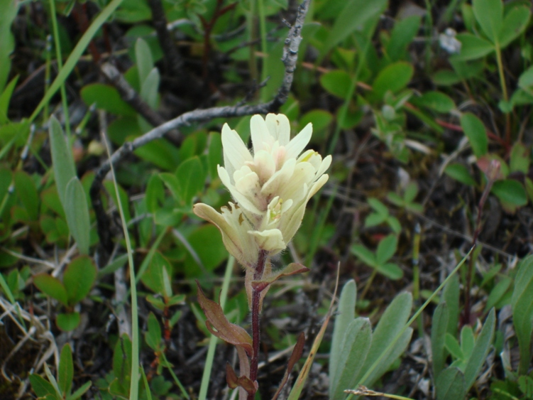
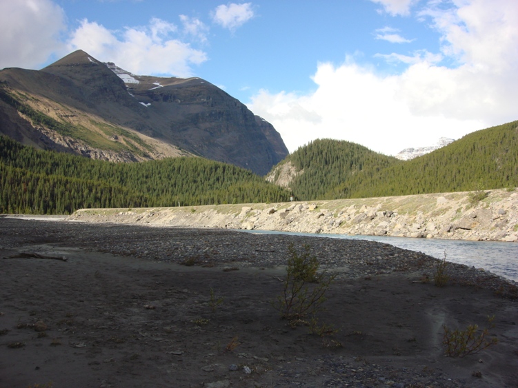
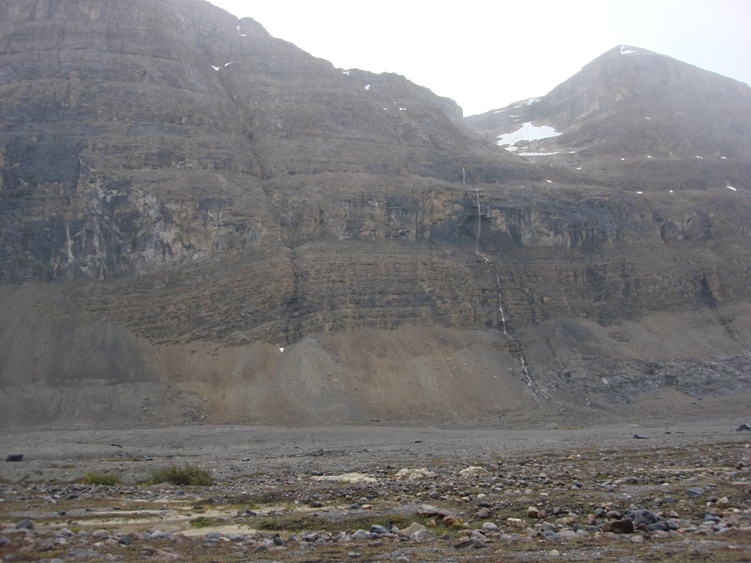
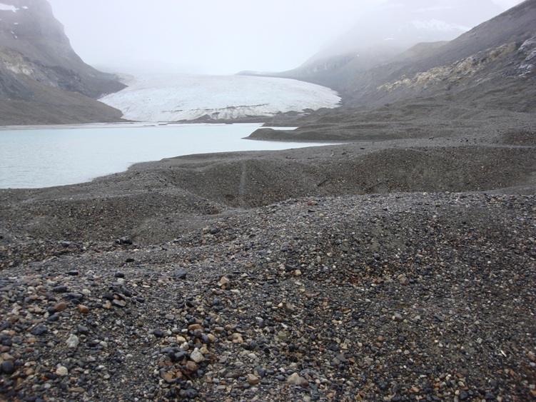
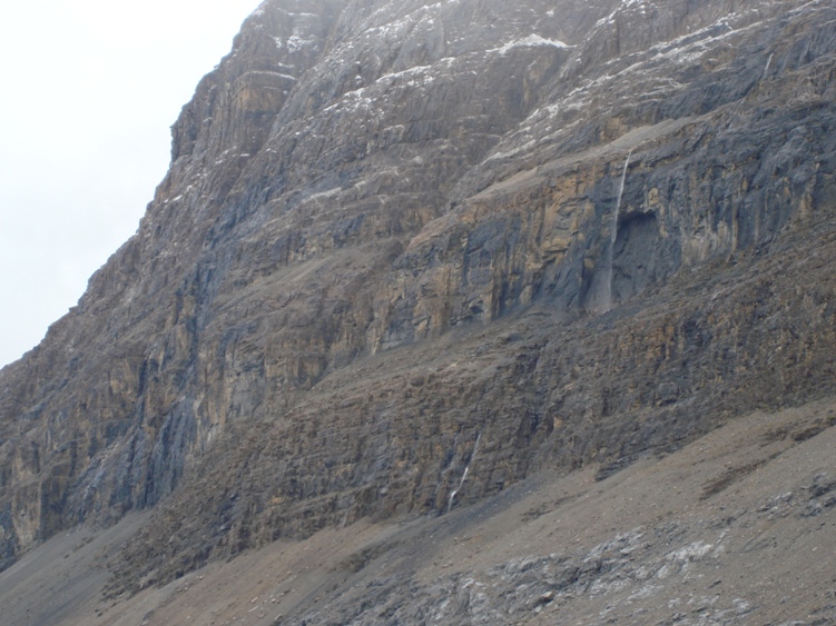
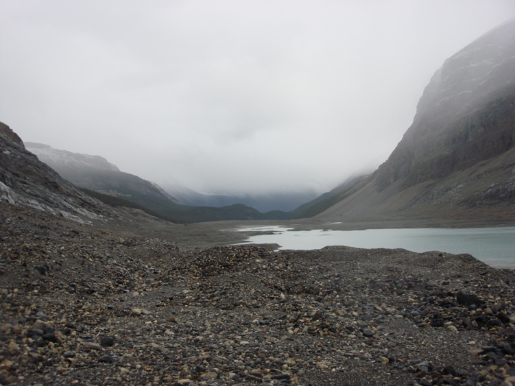
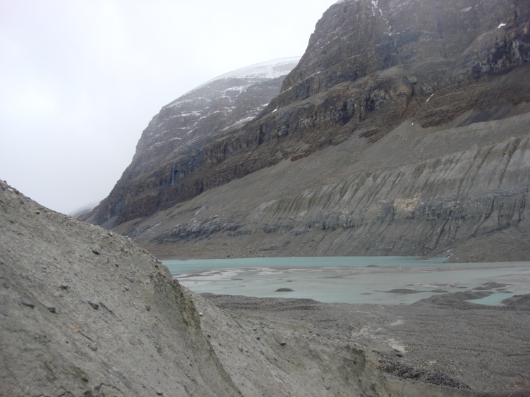
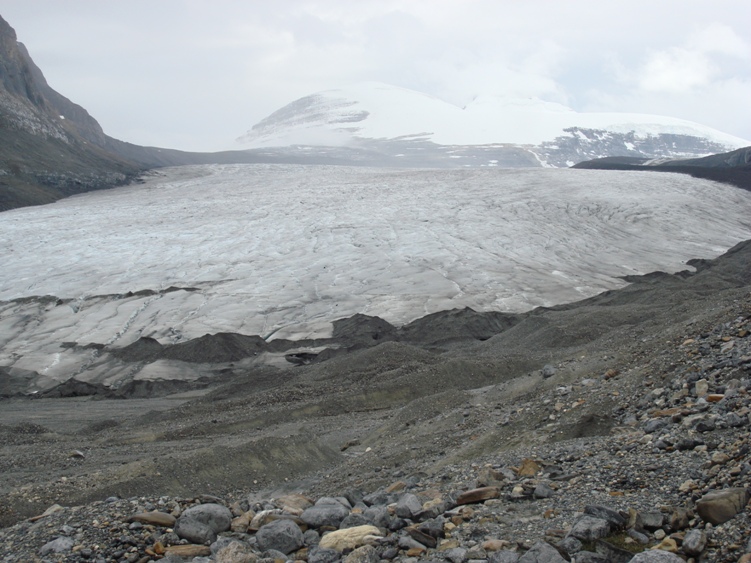
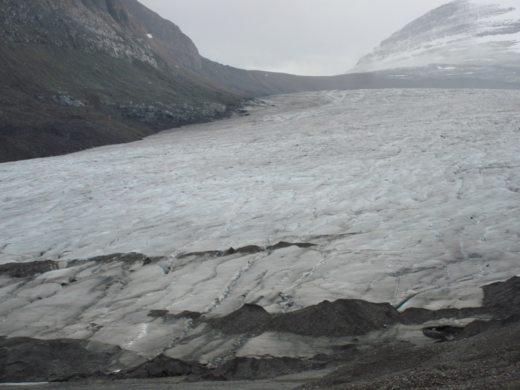
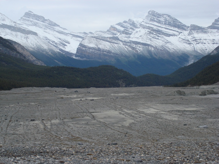
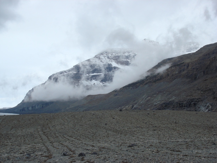
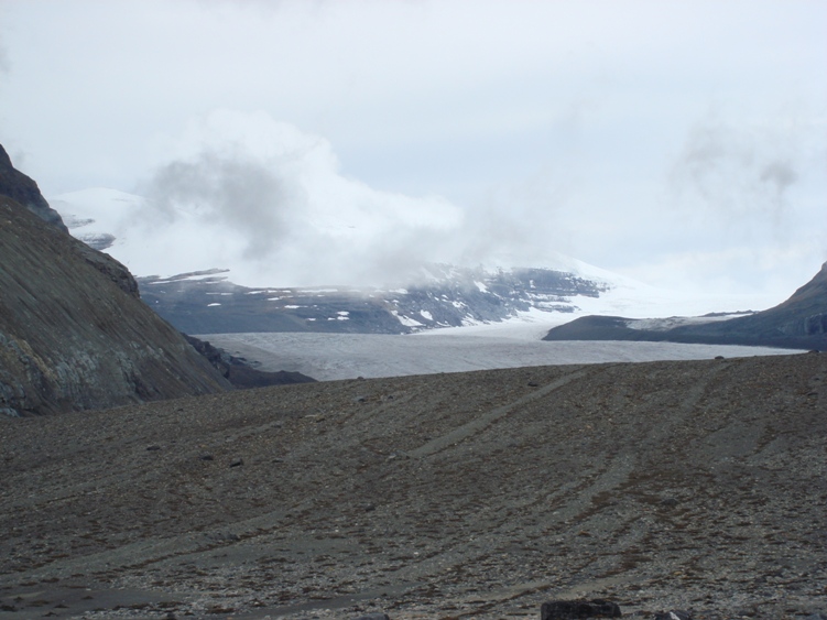
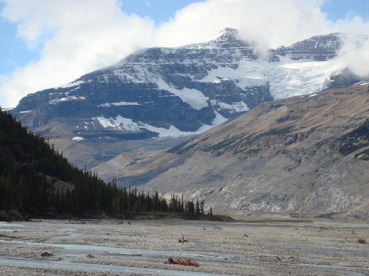
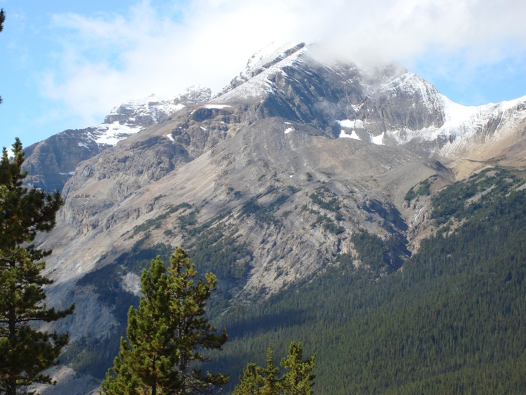
While hiking towards the toe of the Saskatchewan Glacier the scenery is absolutely beautiful. Cliffs on the south side of the valley rise 600M straight up. Parkers and Hilda Ridge can be seen on the north side. Views of the hanging glaciers on the southeast faces of Mount Andromeda and Mount Athabasca are outstanding.
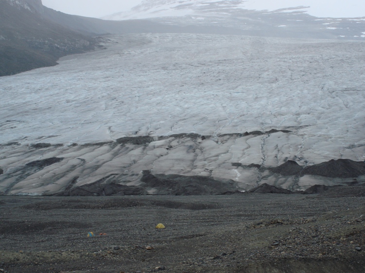
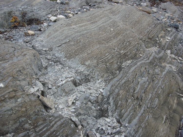
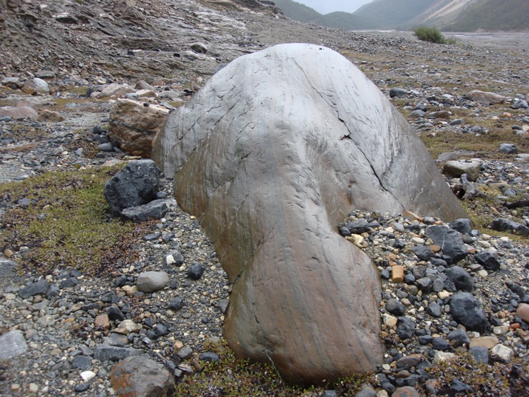
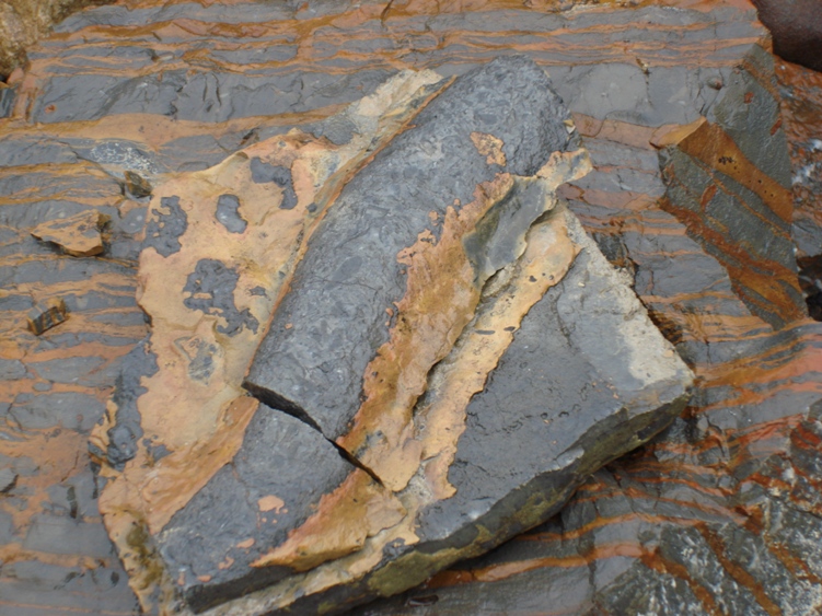
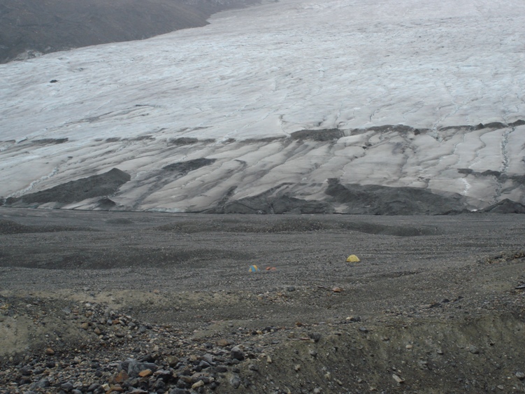
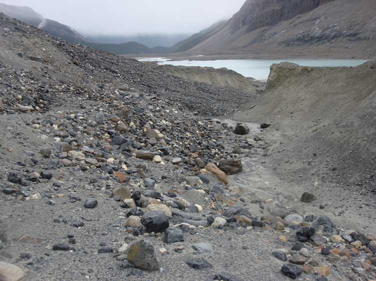
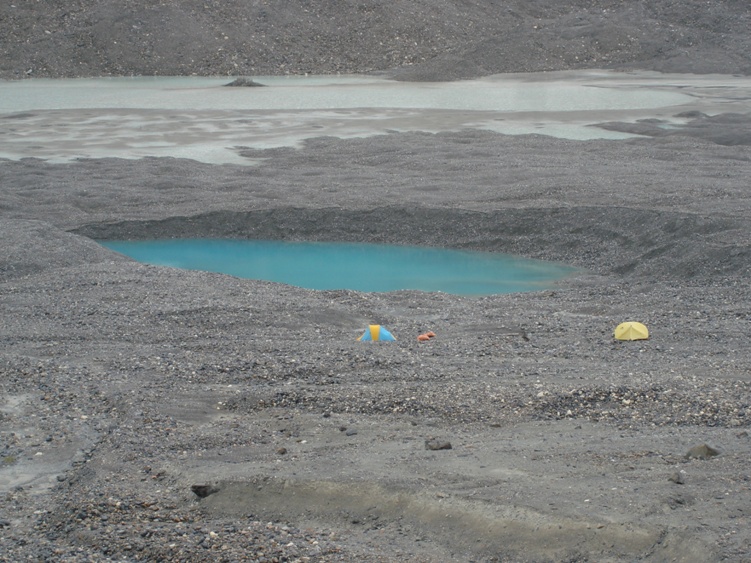
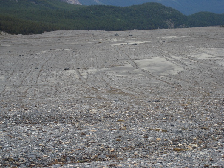
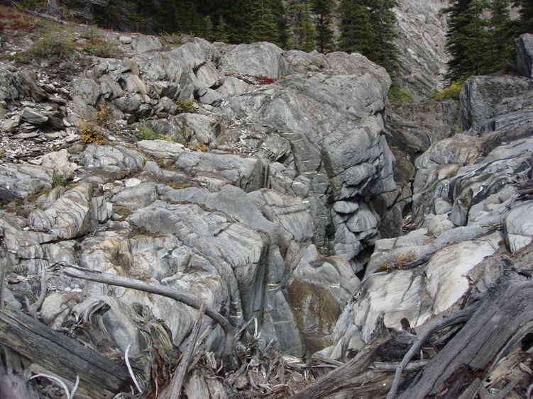
Further on you will start to see the workings and geology of the glacier. Eskers, drumlins, lateral moraines, medial moraine, ground moraines, erratic’s, glacial polish, striation on rocks, glacial deposits, rock flour, till plains, kettle lake, paternoster lakes, braided river, katabatic winds are all here.
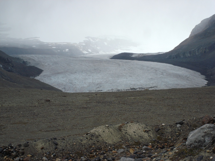
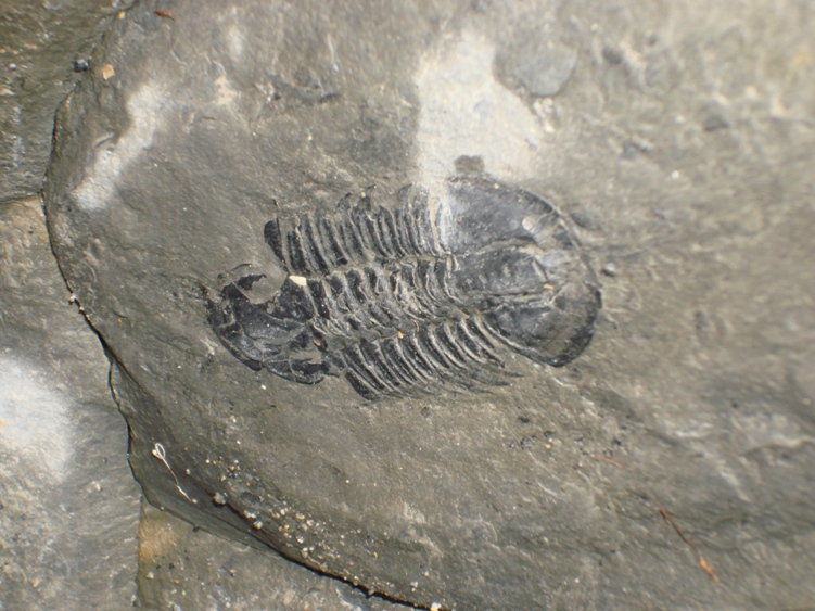
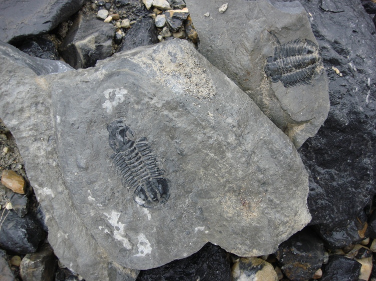
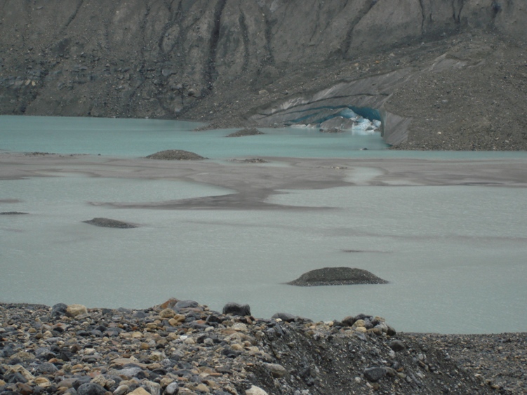
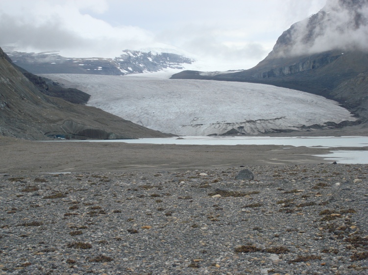
See the interesting survey below from 1952 and compare the glacier photos to these in 2010. Geoheads will love the unusual and eye catching rocks laying everywhere. Mount Castleguard and Castleguard meadows can be seen to the left half way up the Saskatchewan Glacier. Castleguard Cave which is the longest cave in Canada is located near here. As of 2007 cavers have surveyed 20357M of passages and its the fifth deepest at 384m. Castleguard Cave ascends gently from its entrance and terminates beneath the Columbia Icefields. Due to the caves flash flooding the entrance is barred and locked by the Parks Department. Parks permission and lock key is required to enter Castleguard Cave.
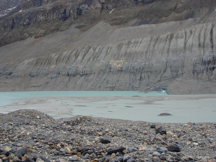
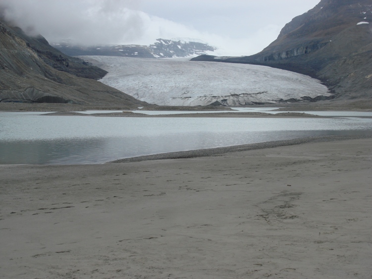
Be very careful around the lake and the toe of the Saskatchewan Glacier, there is deep glacial silt along with hidden ice under steep rock. Do not climb up the glacier unless you have mountaineering experience and the proper gear. You are in bear country
Saskatchewan Glacier 1952 Data PDF


Add Review