
Etherington Creek Hike
Gallery / Photos


Level:
Easy
Time/Dist
2 to 3 hours / 5.5K return
Elevation Gain
330m
Description
Trailhead: Park in the Etherington Creek Equestrian Campground 129kms west of Calgary located on #40 Highwood Trail highway. Note: Highway #40 is closed at the Upper Lakes and Highwood House Junction from Dec 1st to June 14th for wildlife preservation.
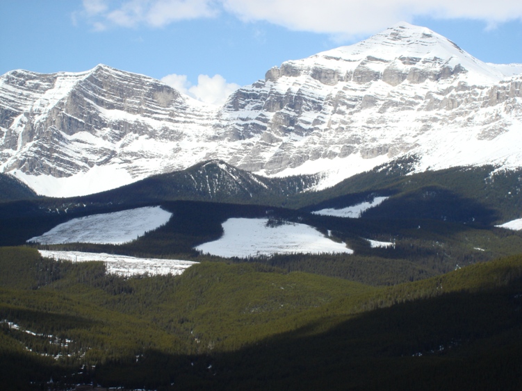
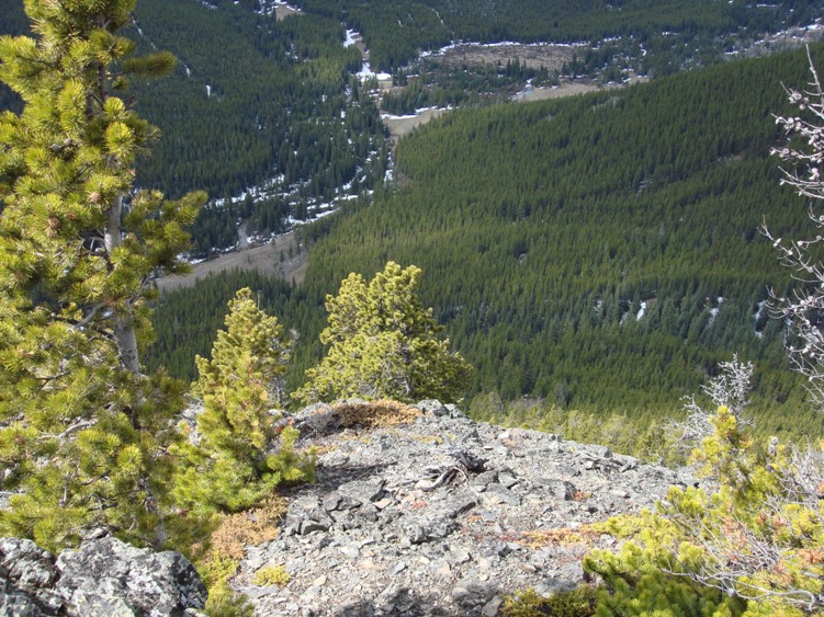
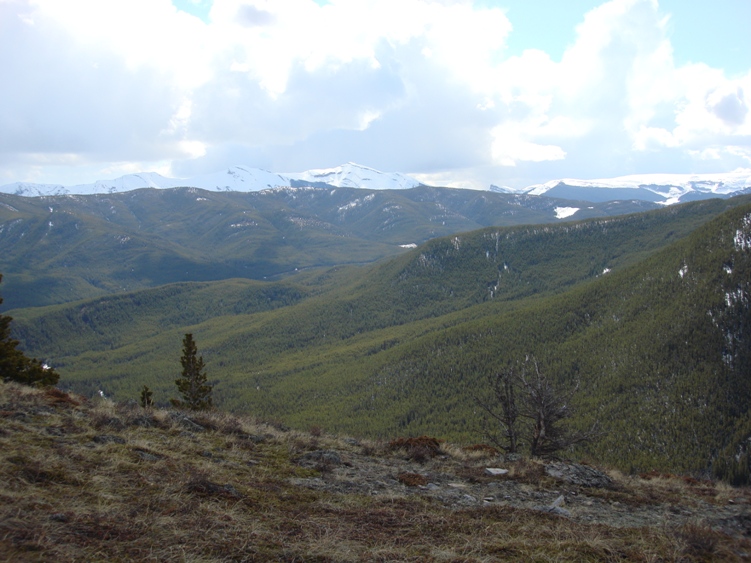
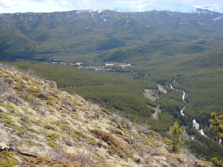
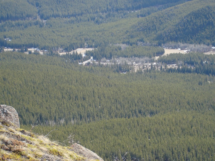
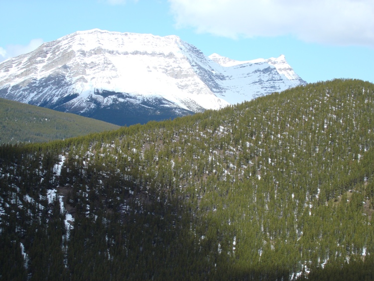
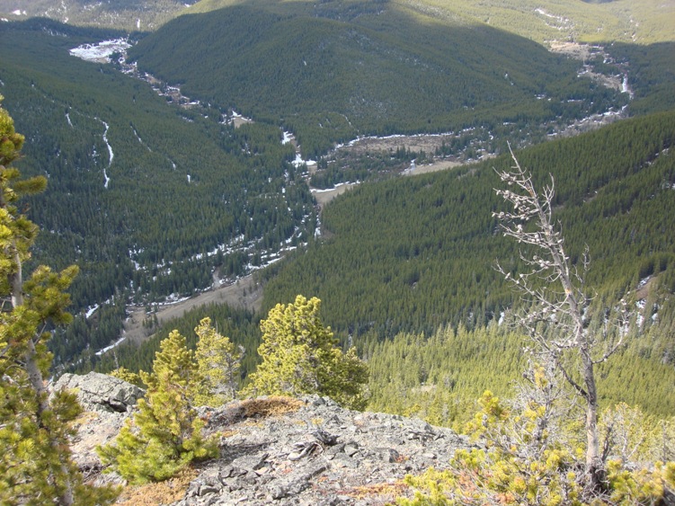
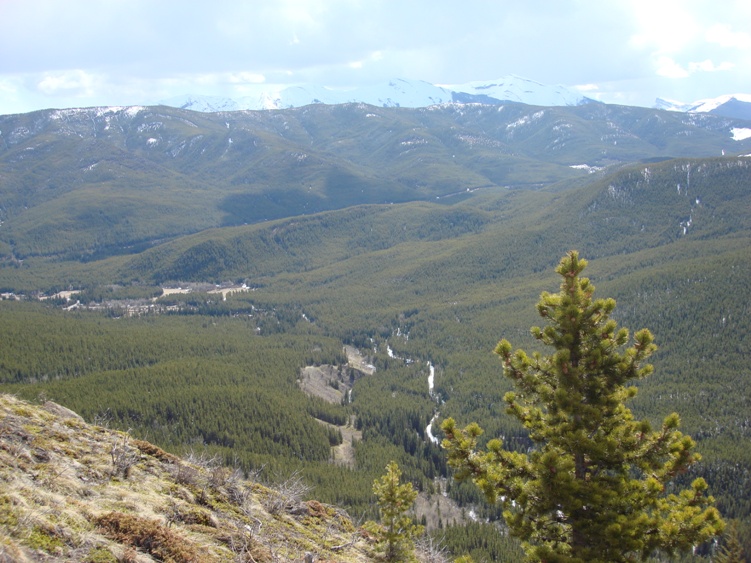
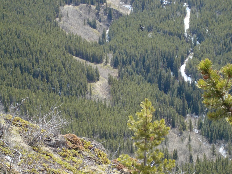
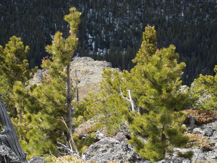
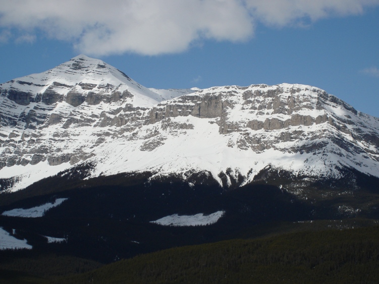
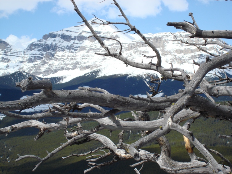
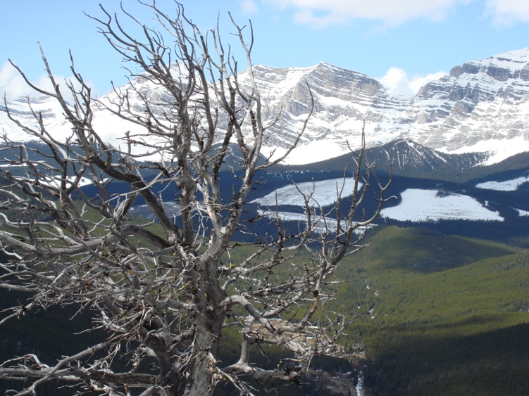
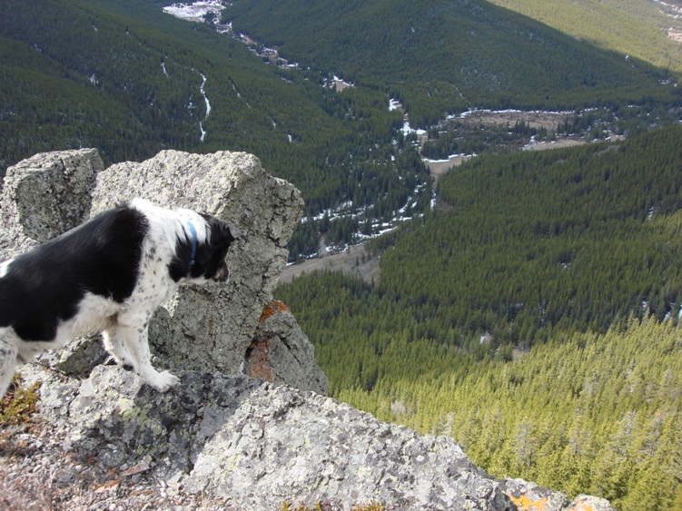
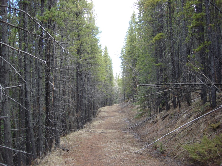
Description: Locate the logging road at the south west corner of the equestrian campground. Continue on a few kilometers until you reach a barbwire fence. There is no official trail leading up the ridge on your right. Pick your route and work your way up as high as you like. The ridge offers nice views of the Great Divide, Mount Etherington, Mount Boulton and the surrounding area. Mountain bikers will enjoy the old logging roads along the valley bottoms. The roads and trails form loops throughout the entire area that run along the Great Divide. This is bear country.
Items Reviewed - 1
2.0Bad
Rating
2.0
This area is better for mountain biking than hiking.


Add Review