
Gallery / Photos


Level:
Time/Dist
Elevation Gain
Description
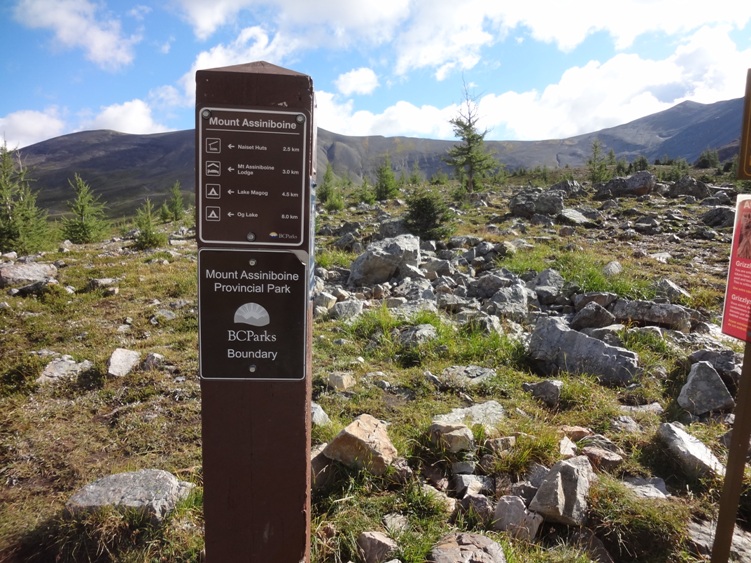
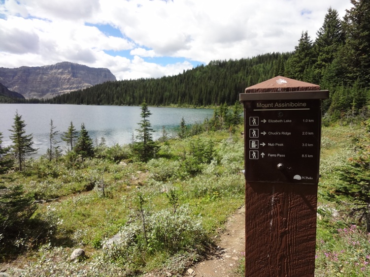
Trailheads: Mount Shark Sunshine Village and Highway #93 BC access. Mount Assiniboine is located in British Columbia.
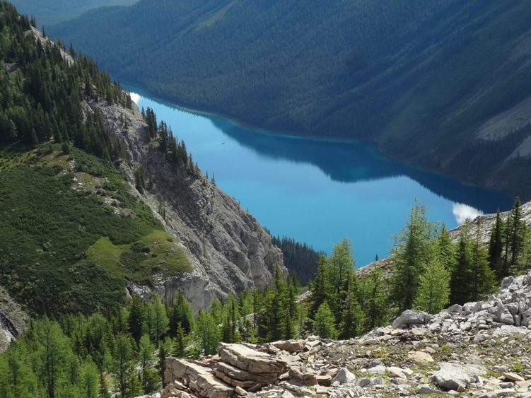
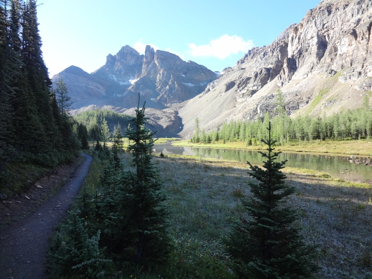
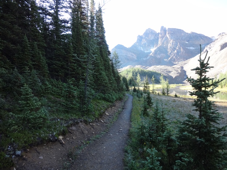
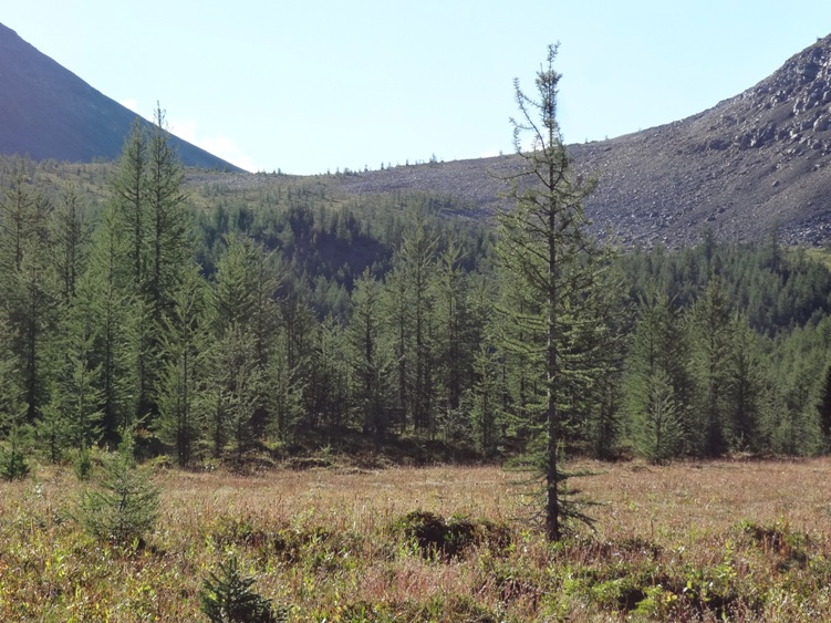
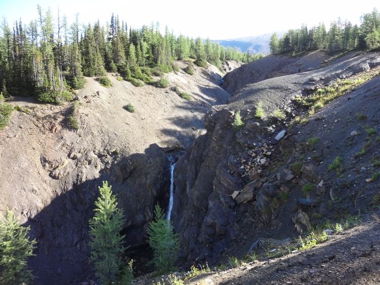
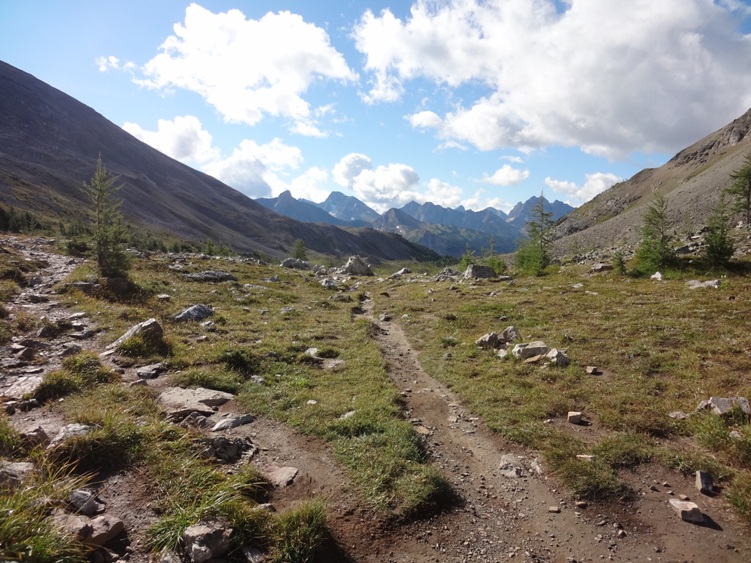
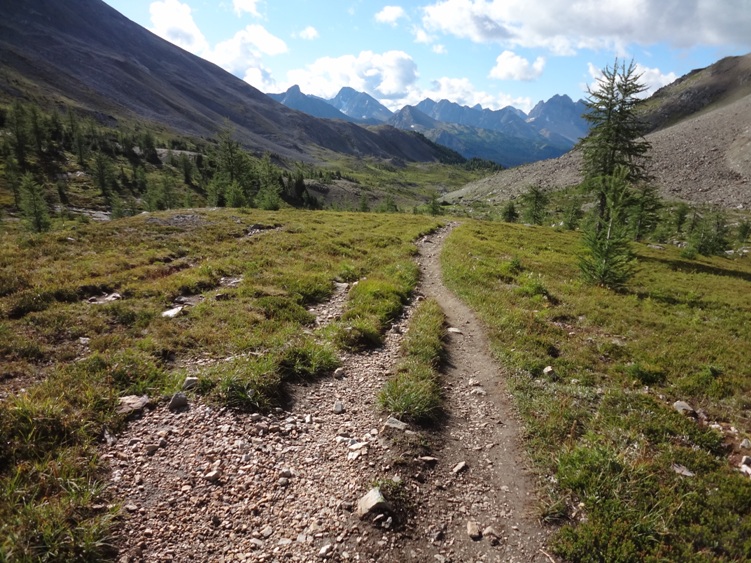
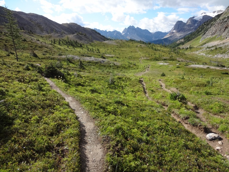
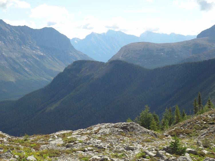
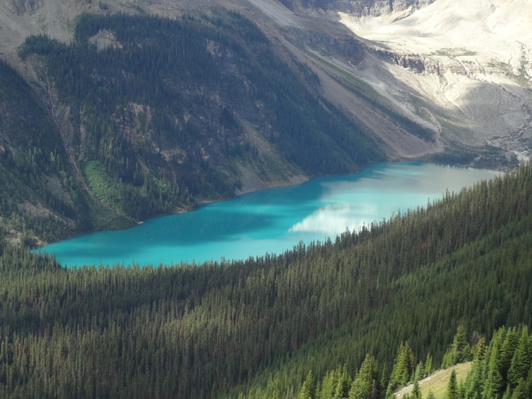
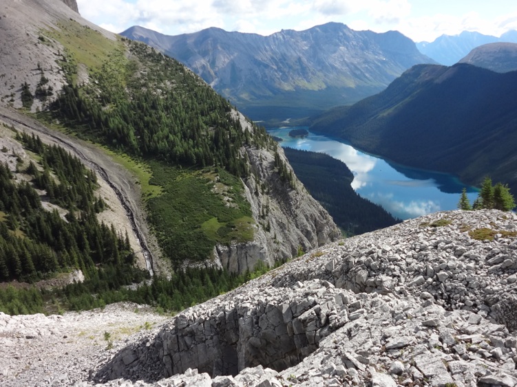
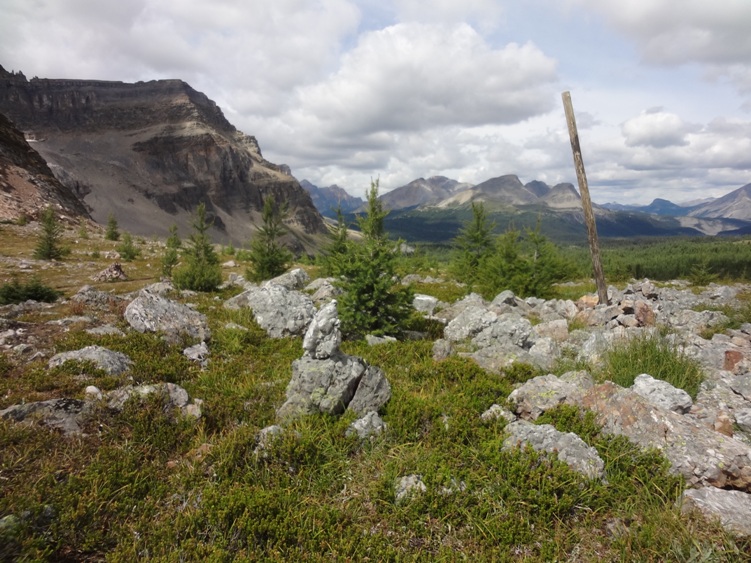
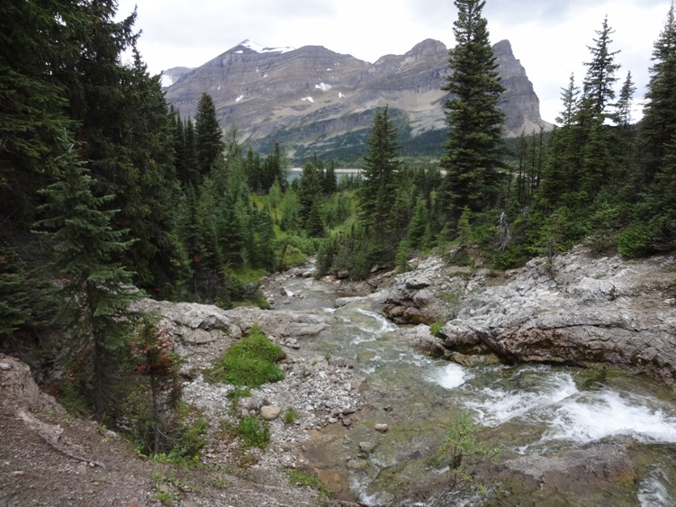
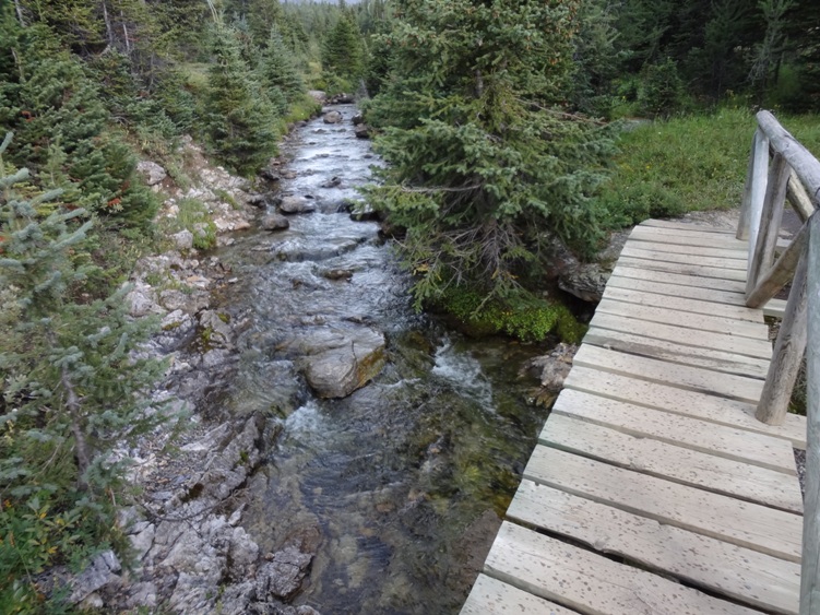
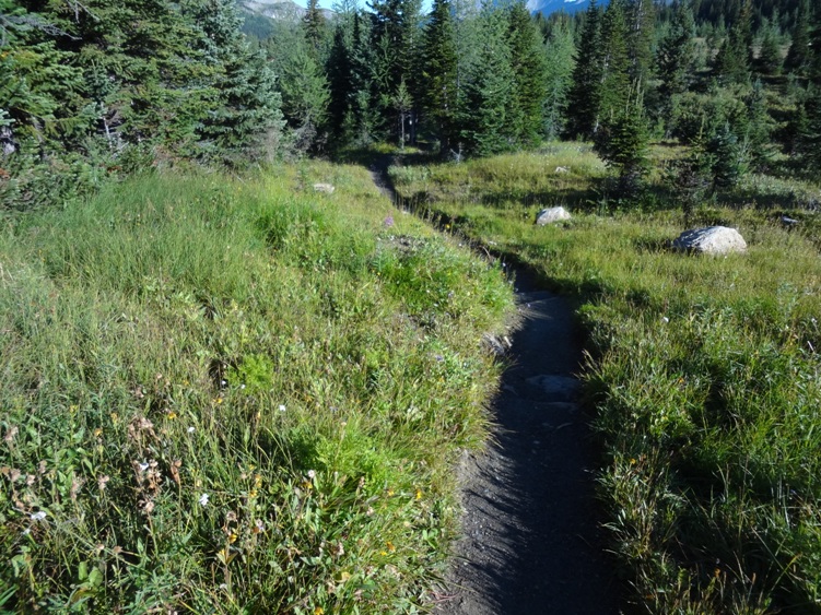
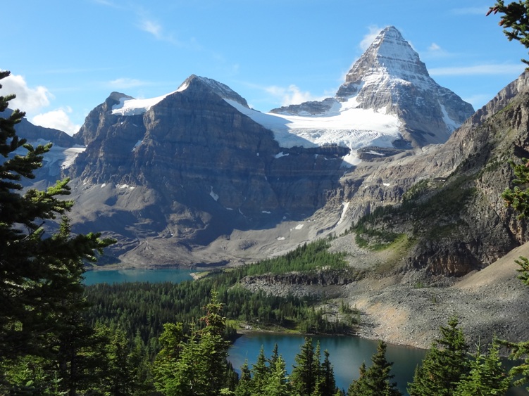
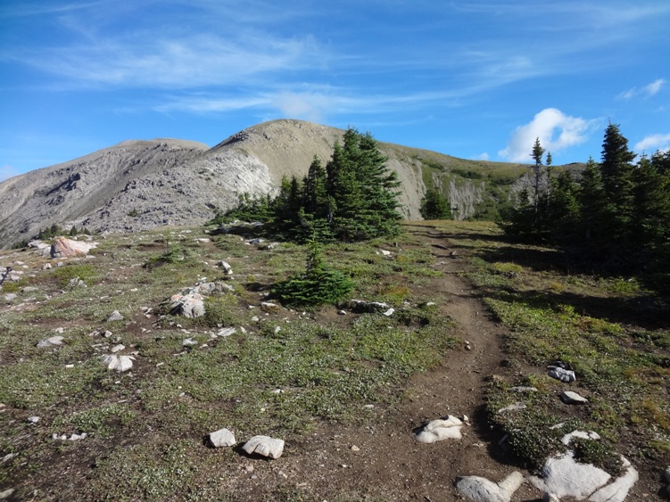
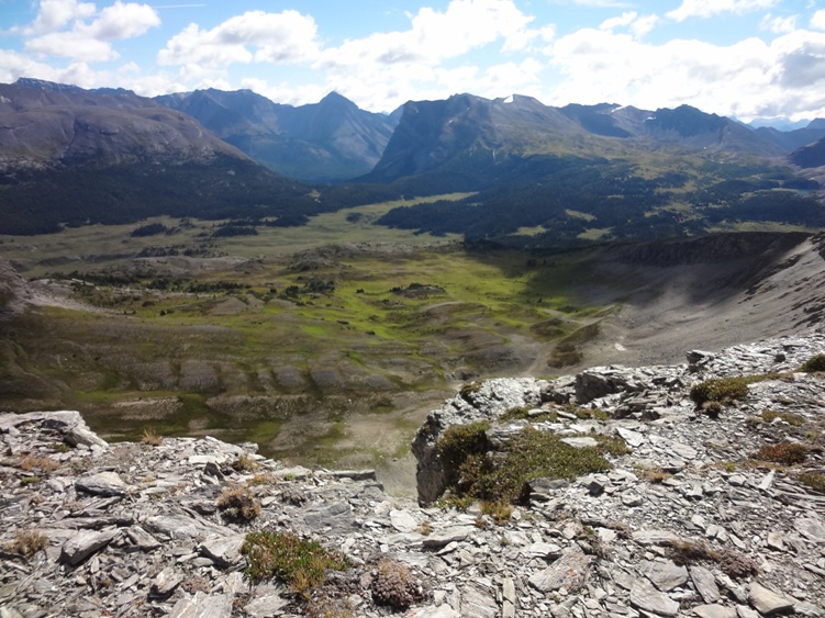
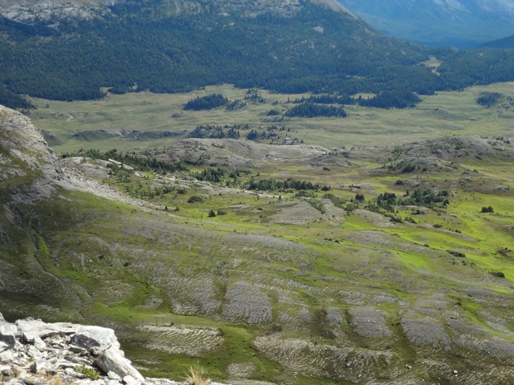
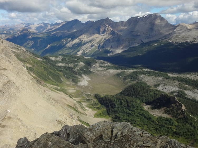
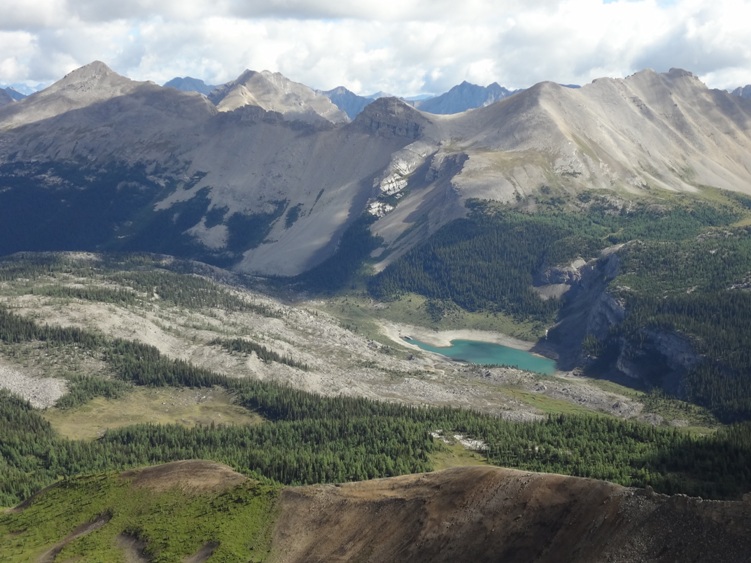
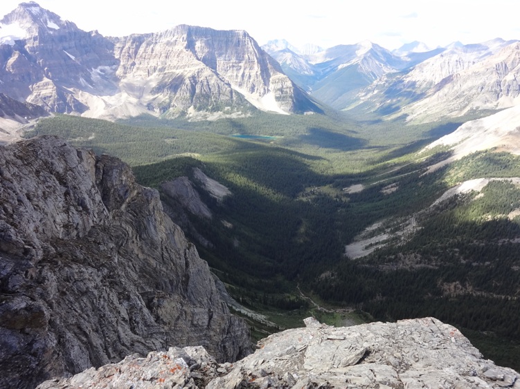
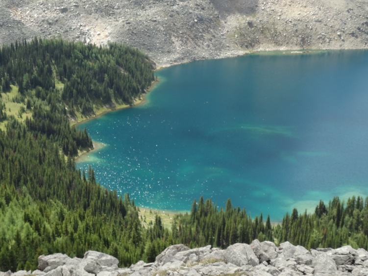
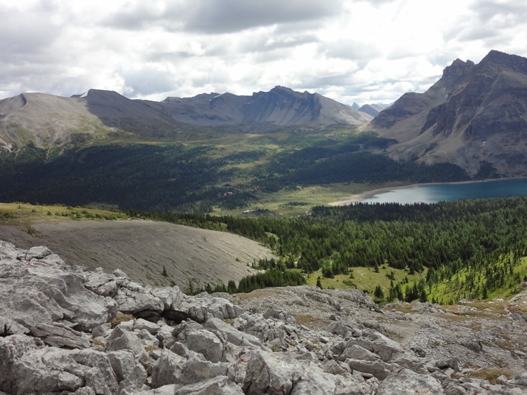
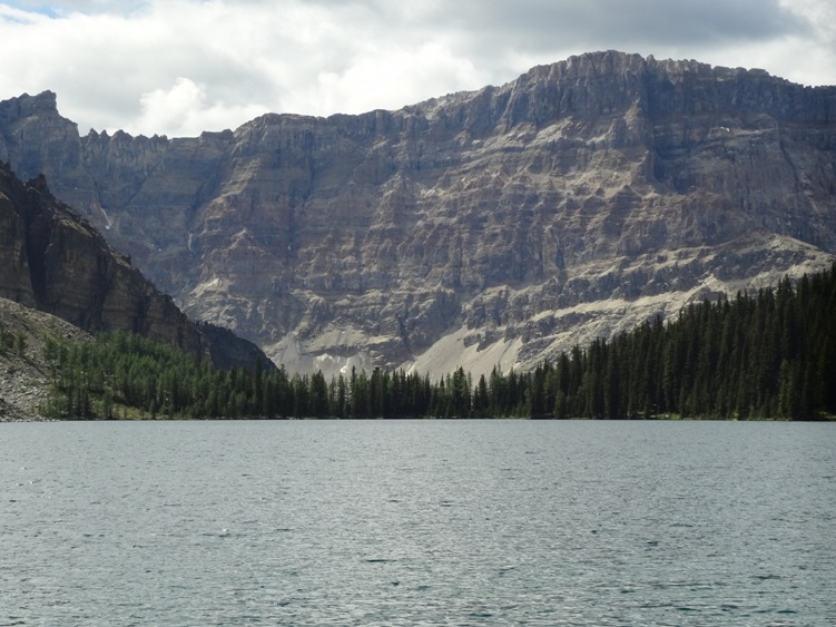
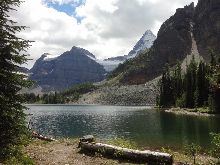
Description: There are to many routes and day hikes to describe here. I suggest purchasing a good guide book that covers Mount Assiniboine Provincial Park. Consider all the access routes a moderate to difficult multiday backpack. If you do decide to hike in from Mount Shark I can confirm the trail towards Marvel lake and Wonder Pass is the most scenic route with less helicopters flying overhead.
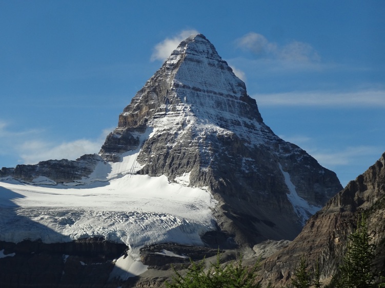
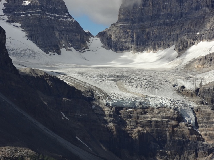
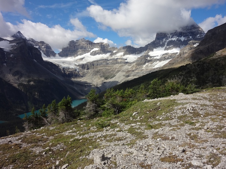
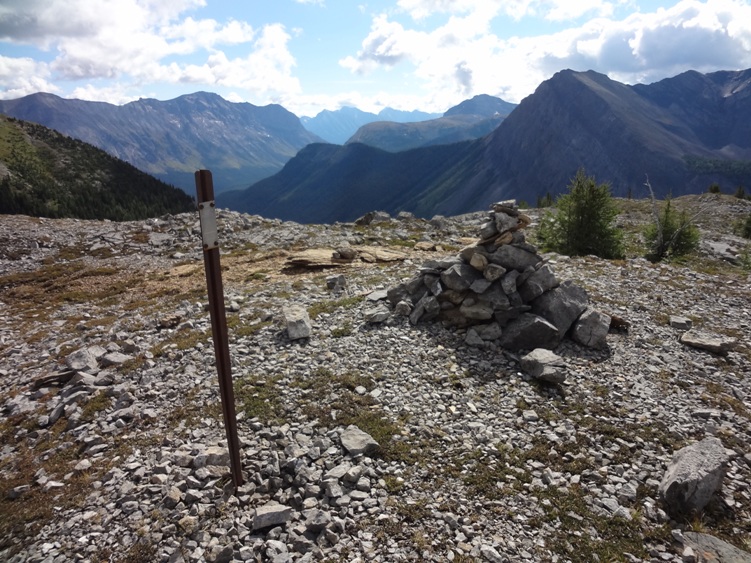
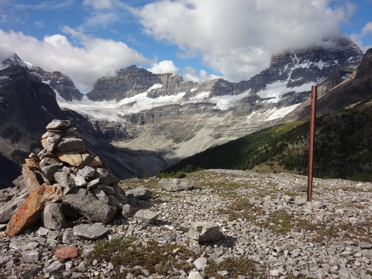
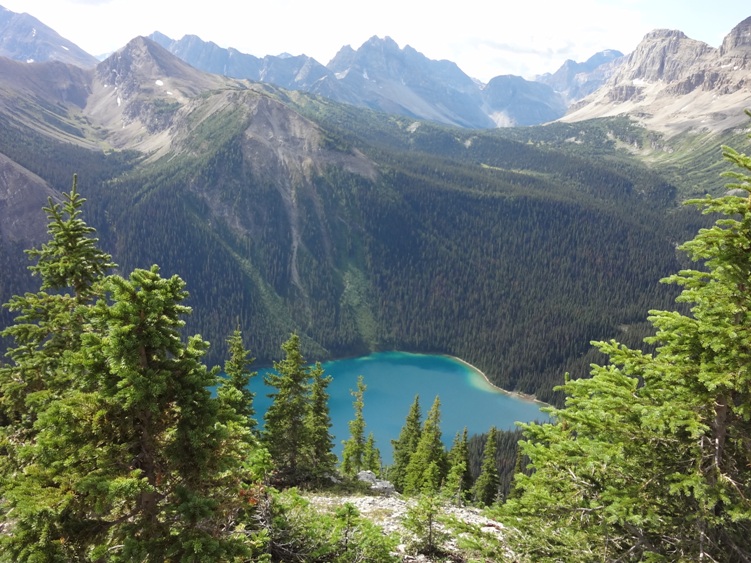
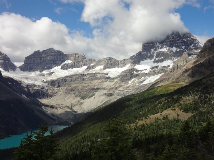
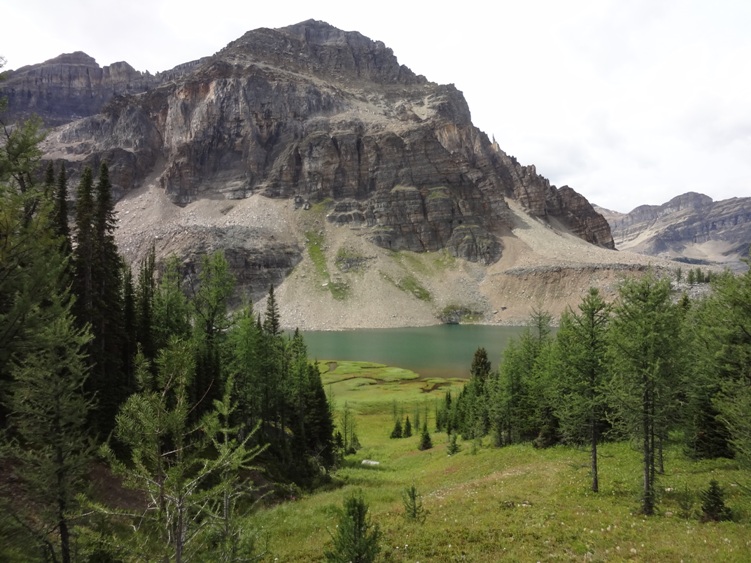
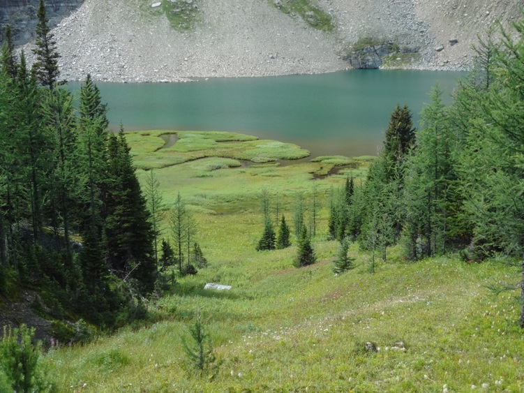
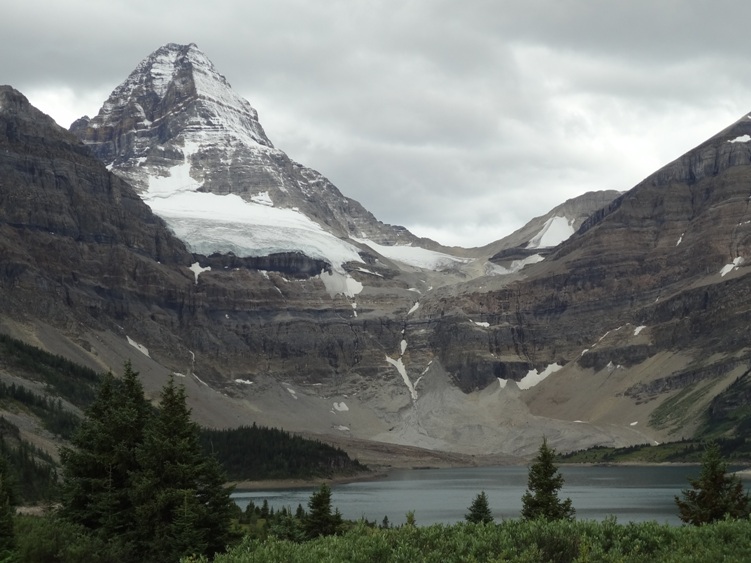
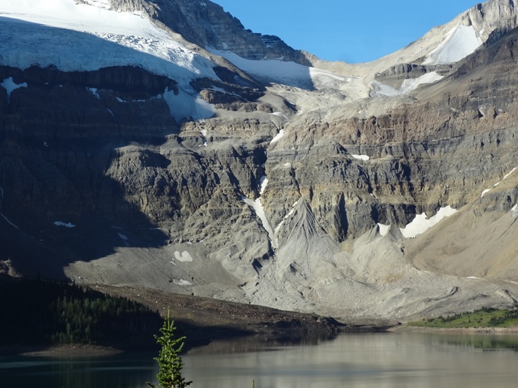
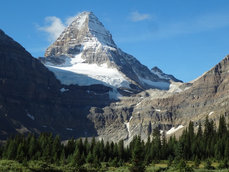
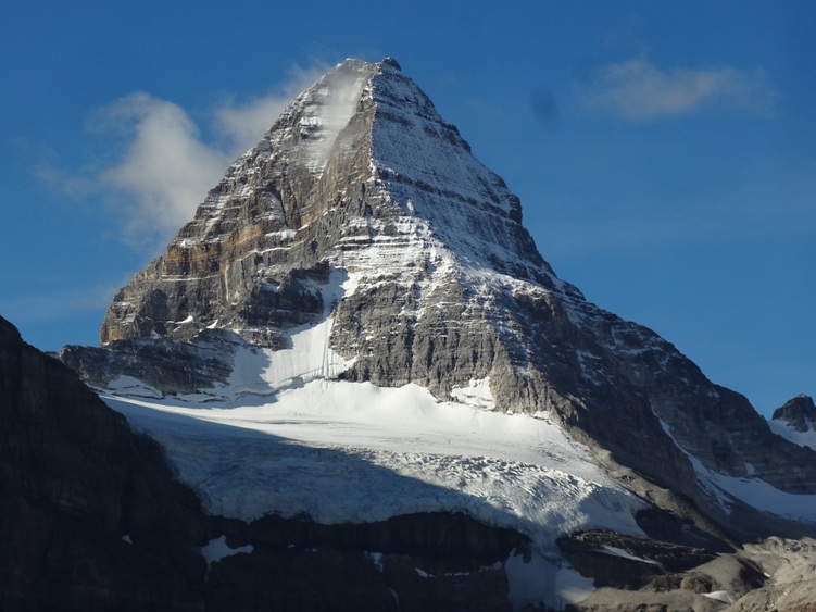
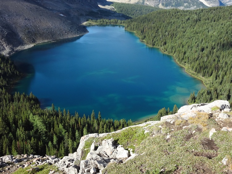
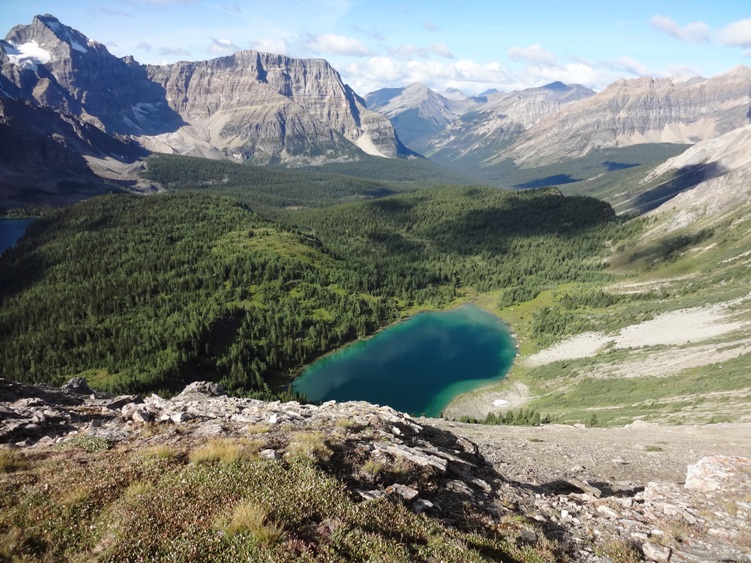
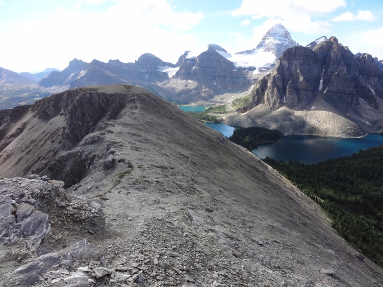
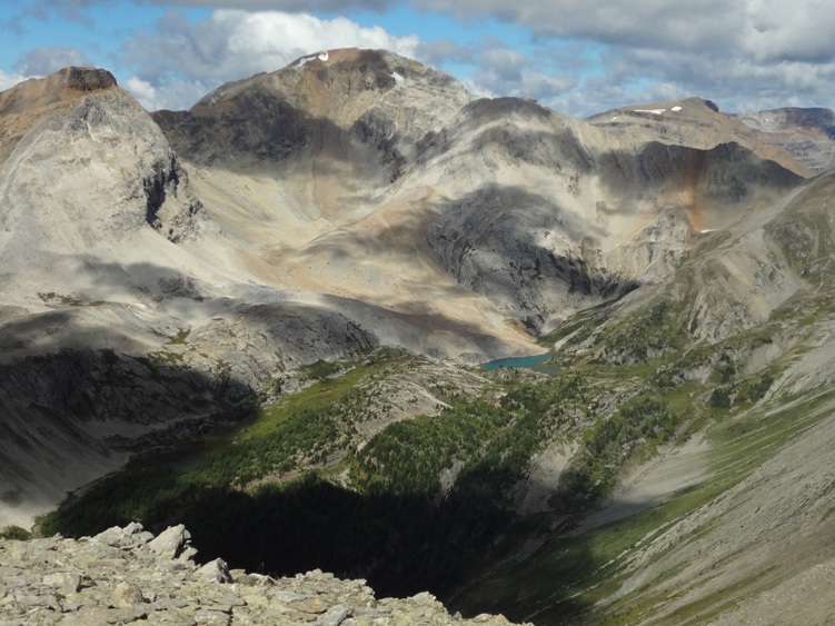
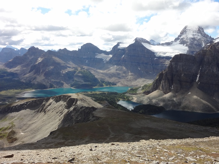
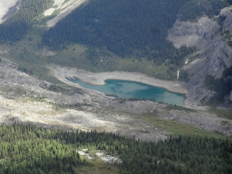
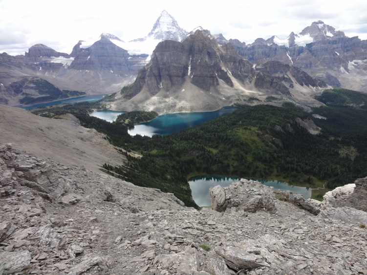
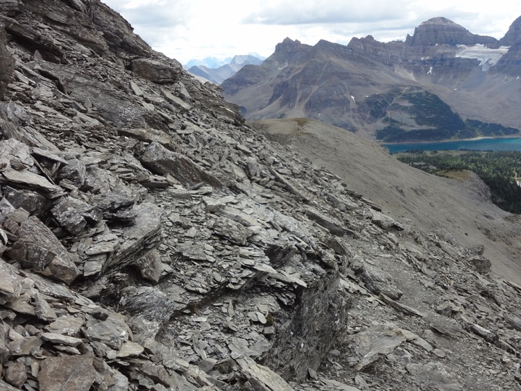
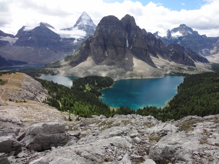
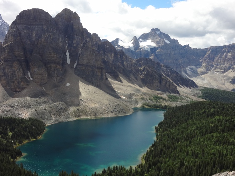
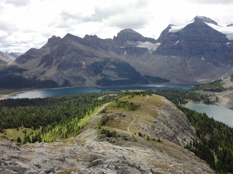
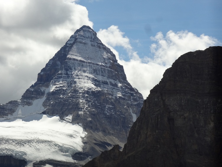
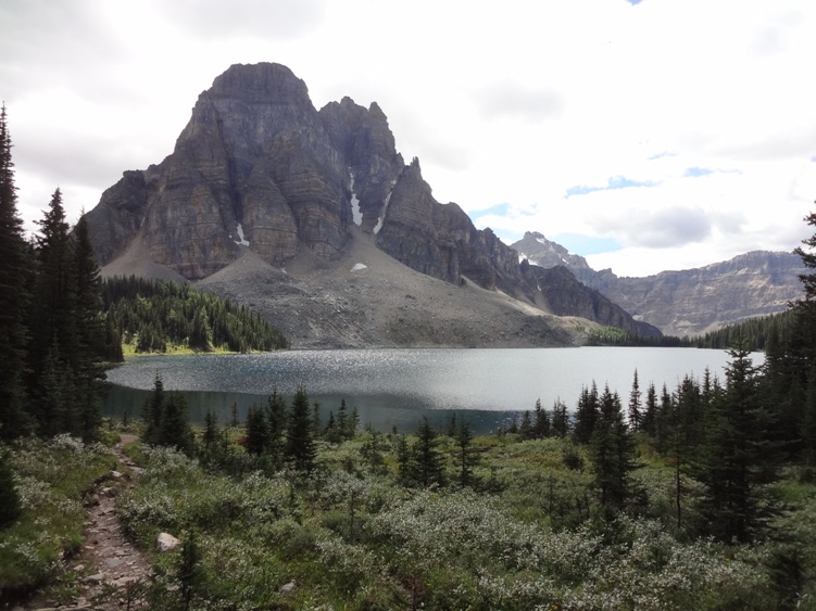
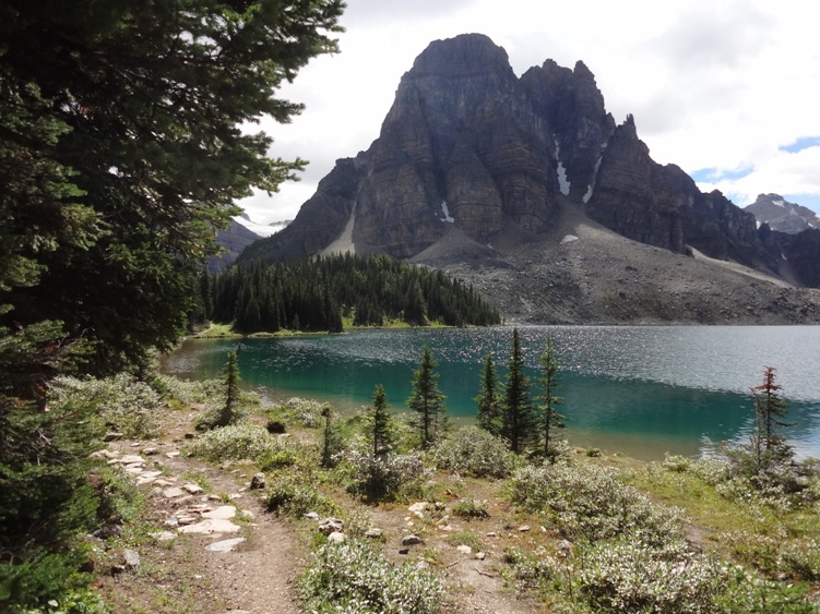
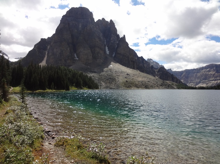
You should plan on spending a few extra days to explore the area. This is certainly a classic and one of the finest hikes you can do in the Rocky Mountains. Day hikes to Wonder Pass Lookout and Nub Peak are a must do. Nub peak offers all the classic calendar views of Mount Assiniboine and surrounding lakes. Mount Assiniboine is located on the great divide and is part of the great divide trail. It’s the highest peak at 3,618ms located in the southern continental ranges of the Canadian Rockies.
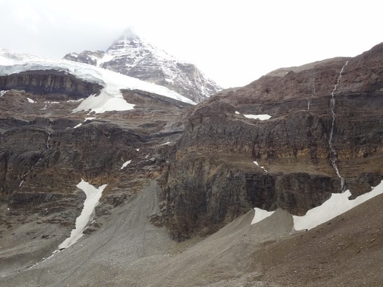
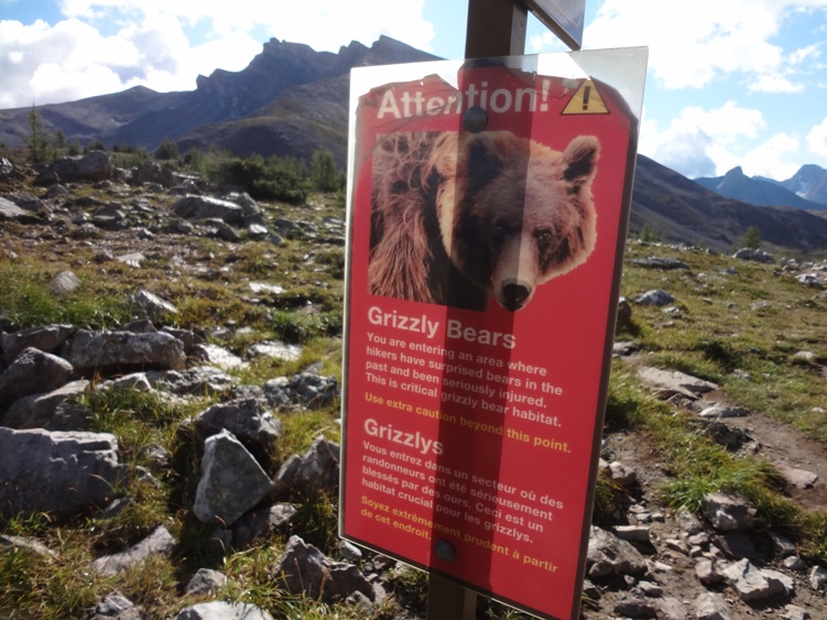
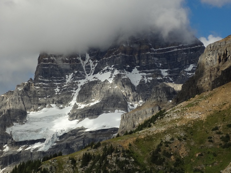
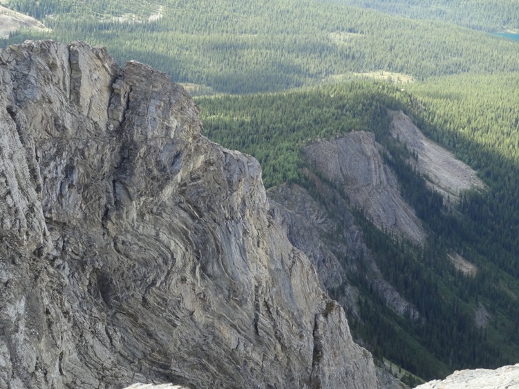
Vertical gain from Magog Lake is 1,525ms. The mountains elevation, location and resemblance to the Swiss Matterhorn makes this a prize for climbers. It’s nicknamed the “Matterhorn of the Rockies”. There are no scrambling routes up Mt. Assiniboine. The easiest mountaineering routes are the North Ridge and North Face classified as a technical 5.5. Both routes are reached early morning from the Hind Hut. Bikes are not allowed into the park. You are in bear country
Items Reviewed - 1
This area is absolutely stunning. Possibly the best backcountry hike in the Canadian Rockies.


Add Review