


Level:
Time/Dist
Elevation Gain
Description
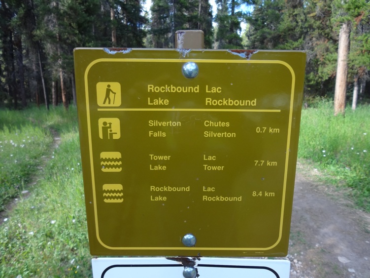
Trailhead: Park at the Rockbound Lake trail head parking lot, a short distance SE of the Castle Junction highway intersection 31kms west of Banff. Banff National Park.
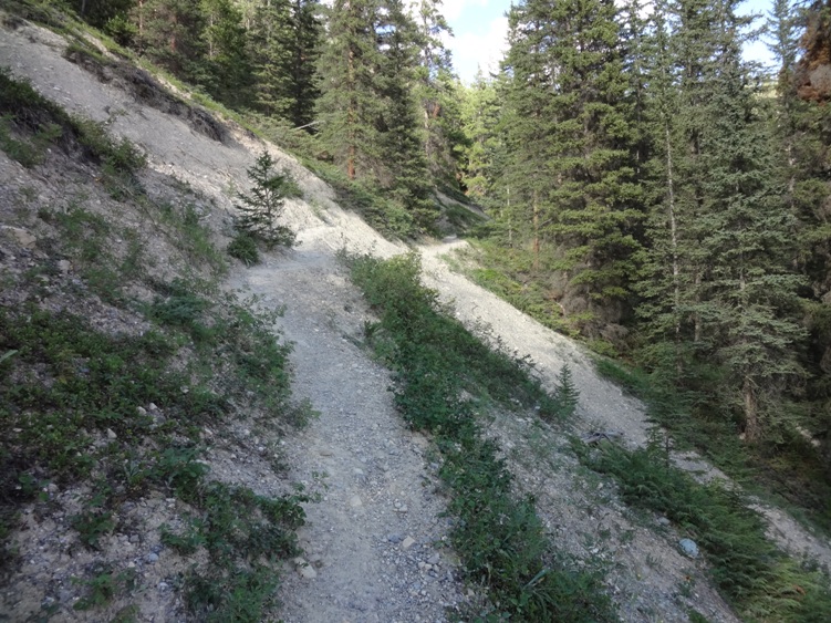
Description: This is more of a walk than hike. Locate the Rockbound Lake trail next to the parking lot. Follow an old dirt road that slowly climbs through a spruce and fir forest. At about 300ms you’ll arrive at the the Silverton Falls trail intersection. Turn right and continue on another 0.6Kms.
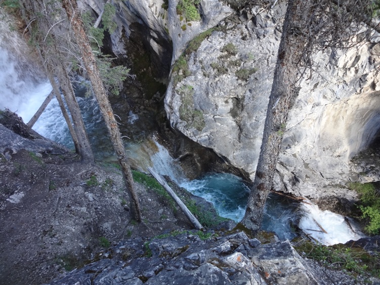
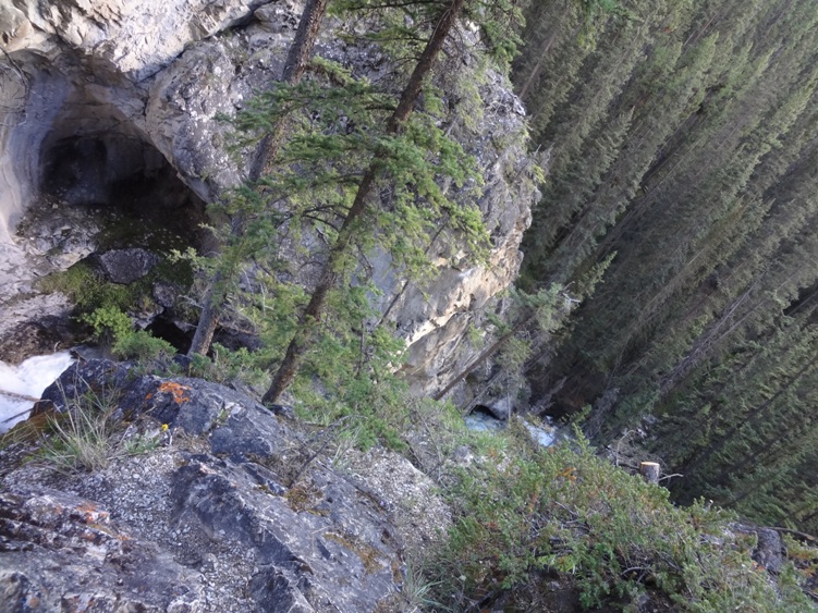
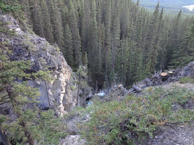
The trail follows Silverton Creek to the Silverton Falls view point. Silverton Falls is approximately 50ms high and was named after a nearby mining town called Silverton. The town itself was short lived and disappeared in 1883. Surprisingly this walk is somewhat forgotten and not crowded with the hoards of tourist found at nearby Johnston Canyon. We had the waterfall all to ourselves on a sunny afternoon in early August. I’m sure this would be a beautiful frozen waterfall during the winter months. This Is Bear Country.


Add Review