
Whistlers Mountain Tram or Hike
- Viewed - 64
Gallery / Photos


Level:
Time/Dist
Elevation Gain
Description
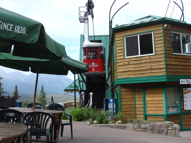
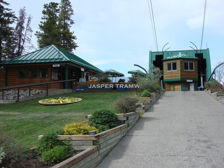
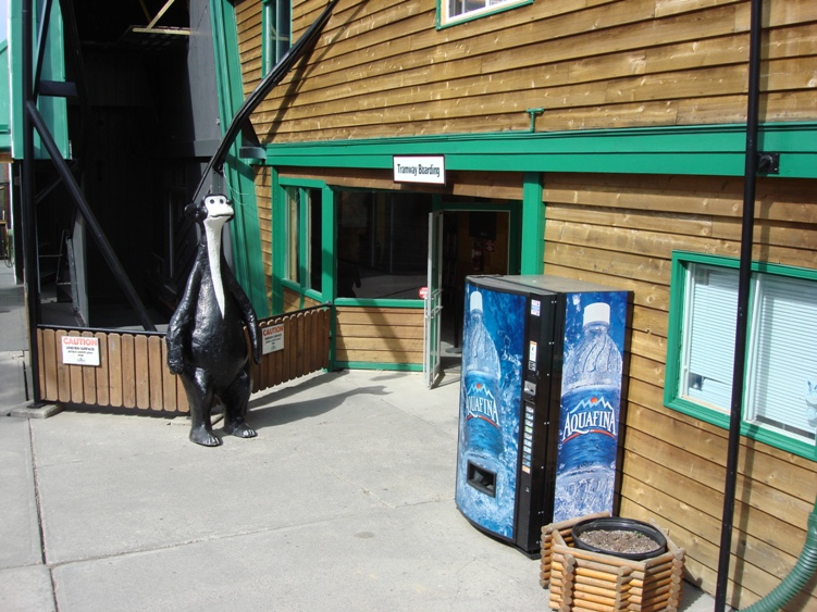
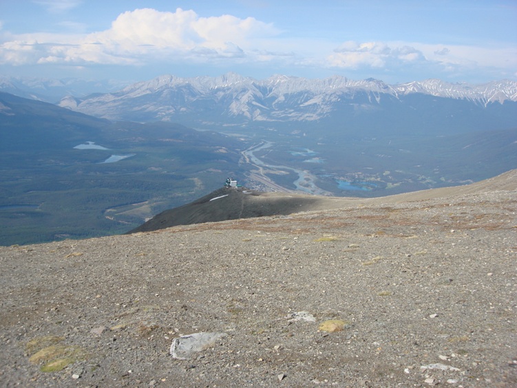
Trailhead: Park at the Whistlers mountain tramway parking lot 6kms south of Jasper in Jasper National Park. The tramway is a few minutes away from the Whistlers campground and 8Kms south of the Jasper.
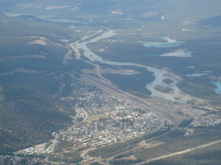
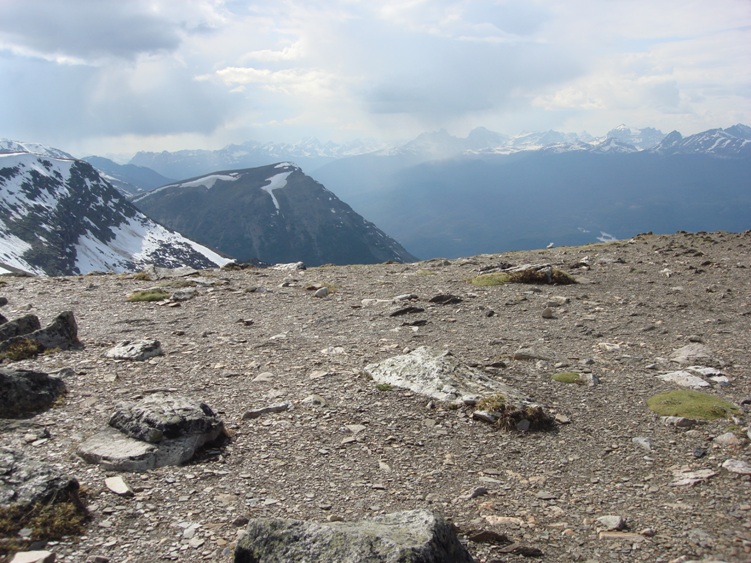
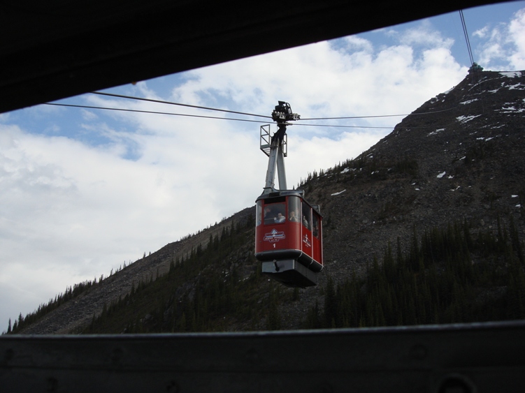
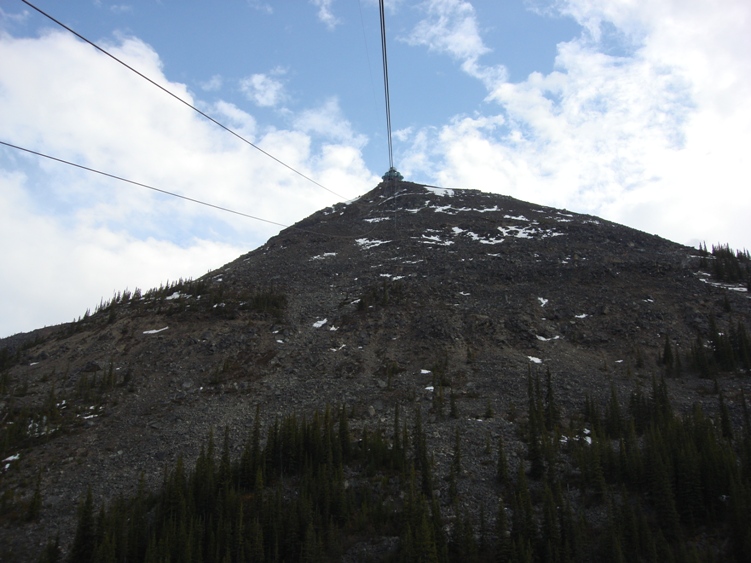
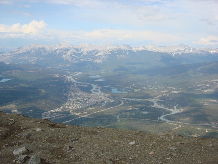
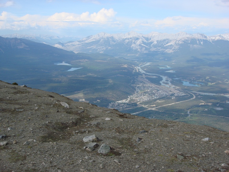
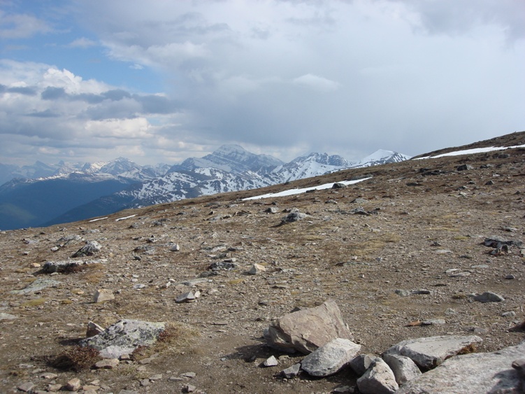
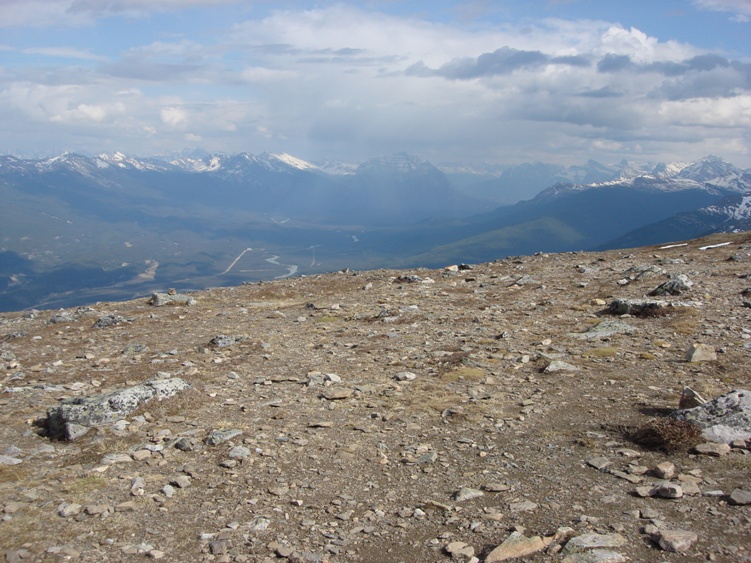
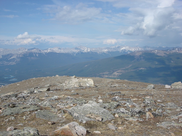
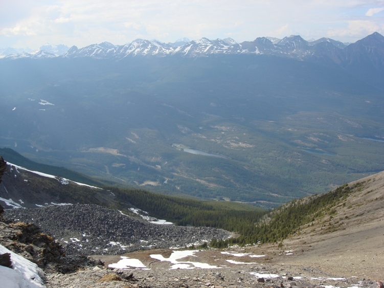
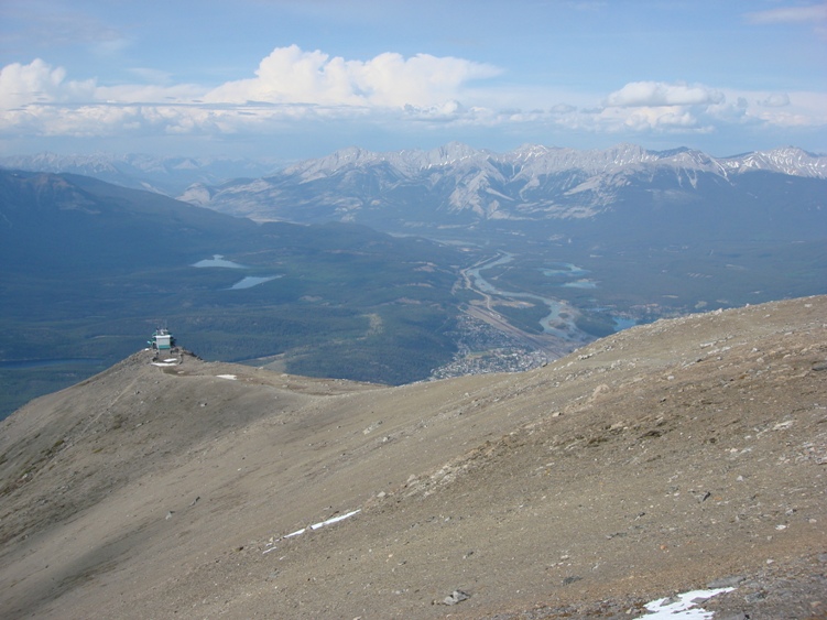
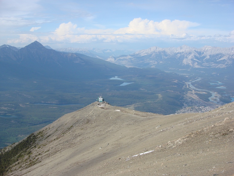
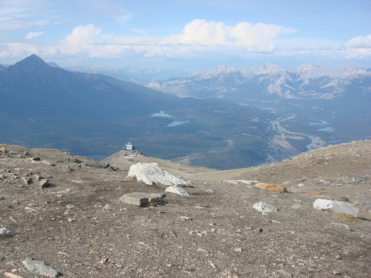
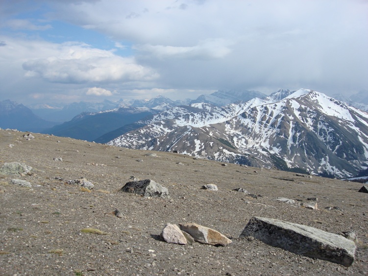
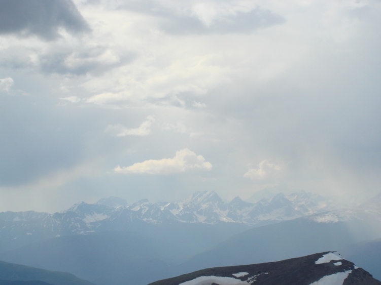
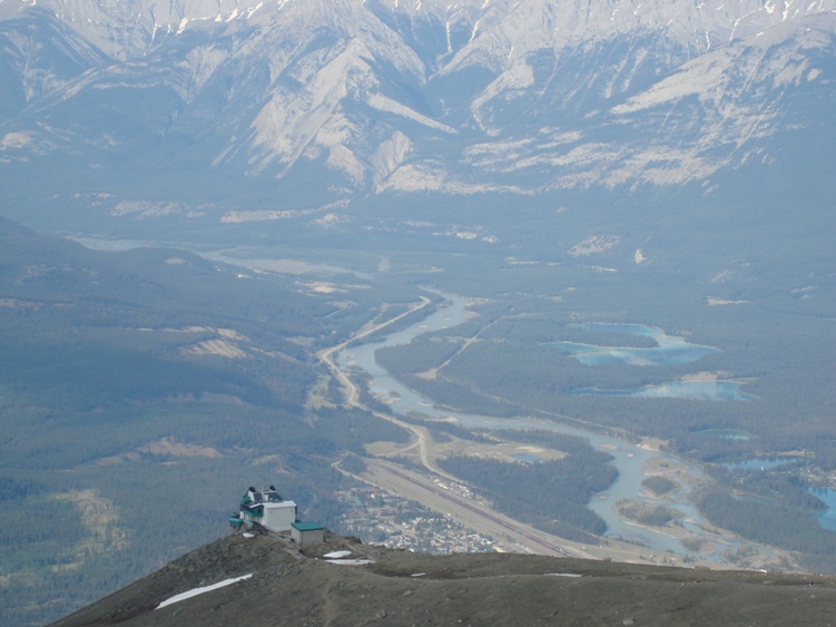
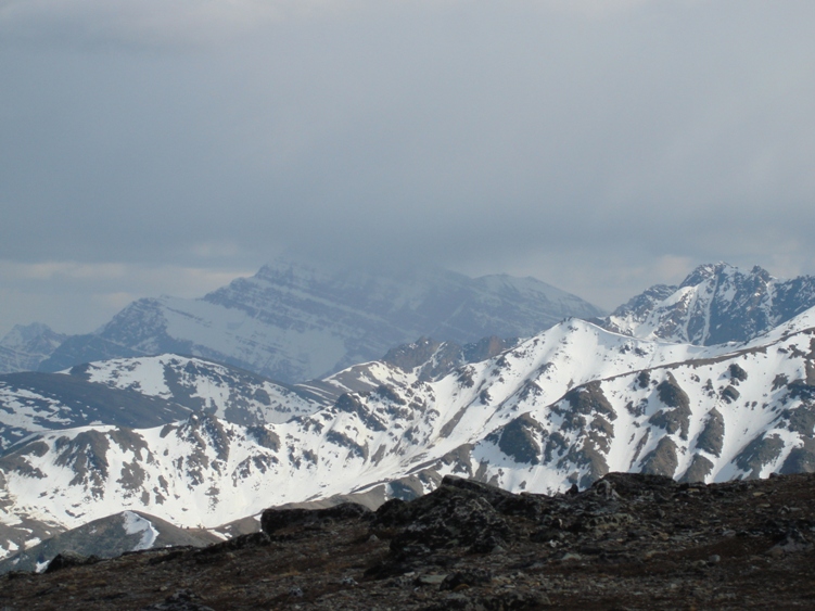
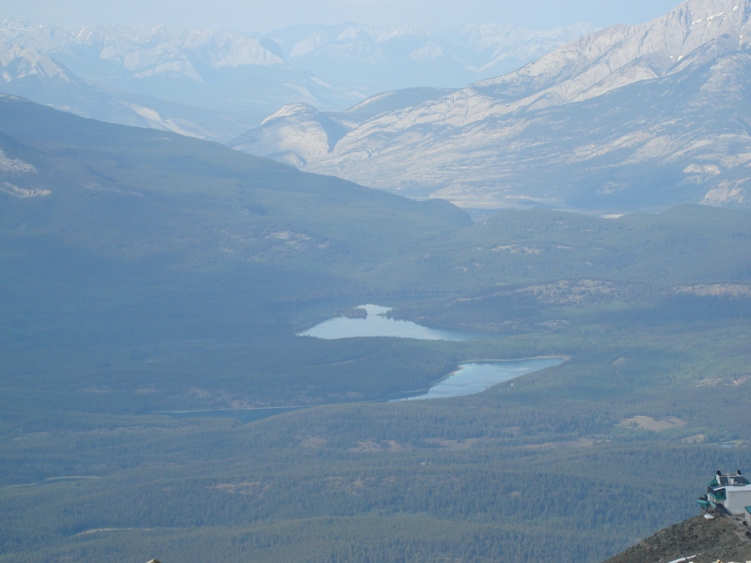
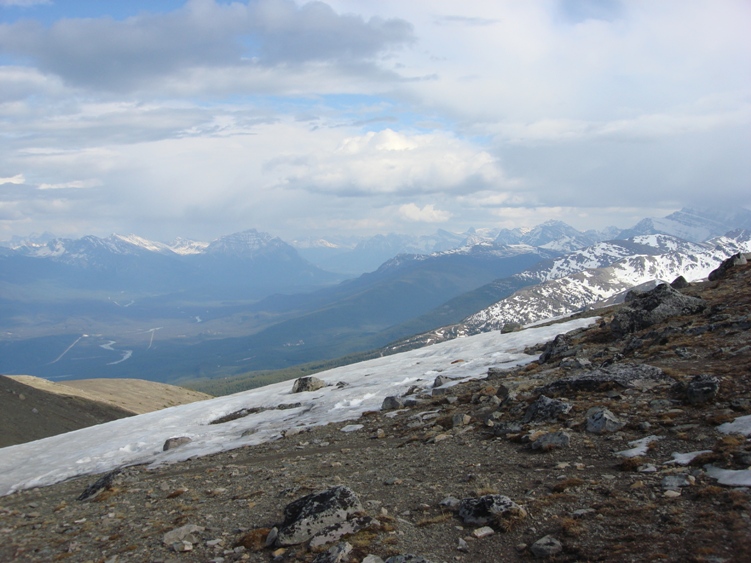
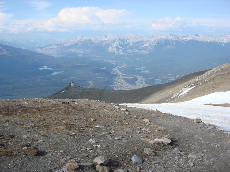
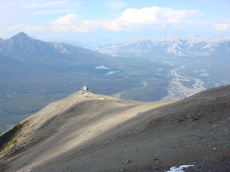
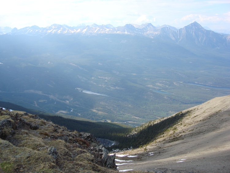
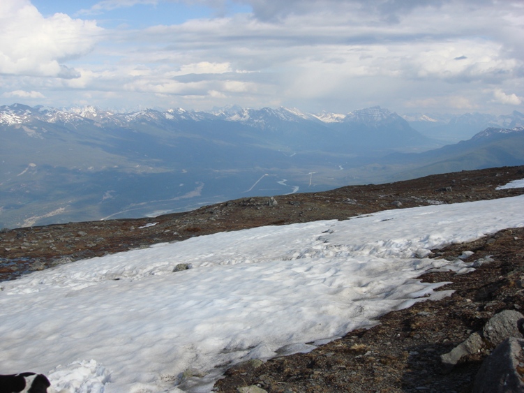
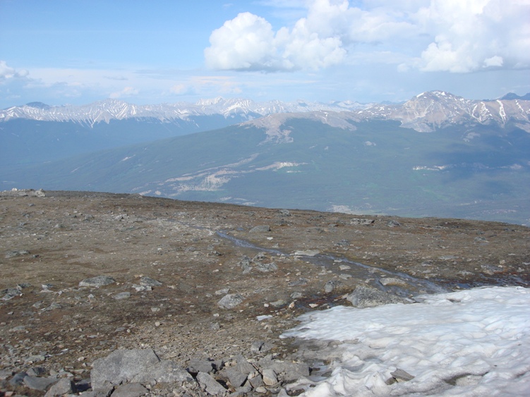
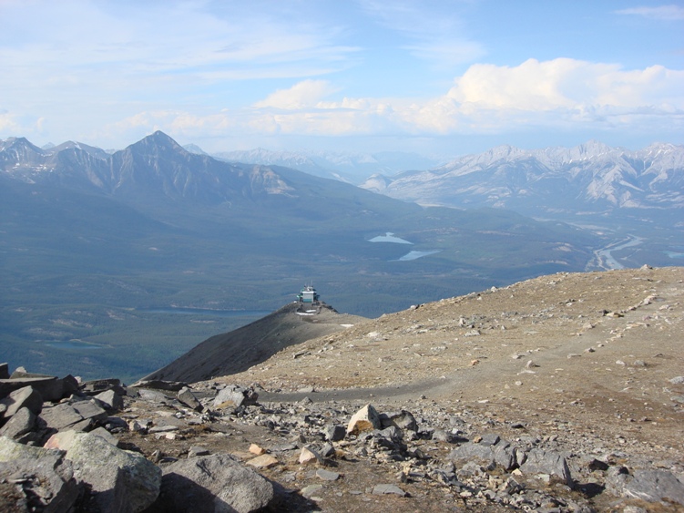
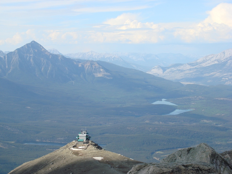
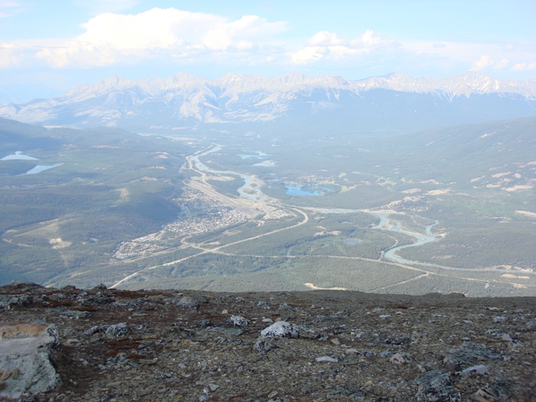
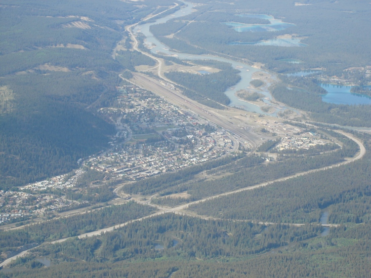
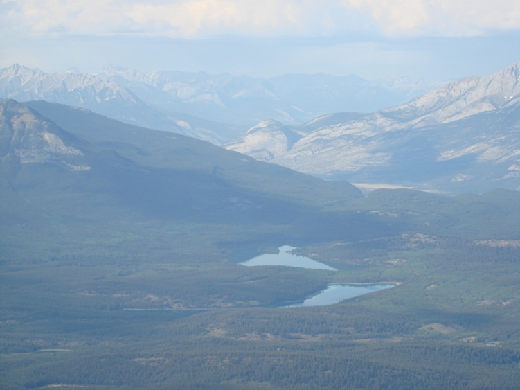
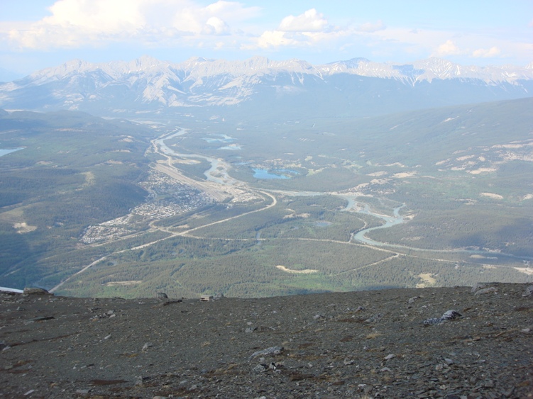
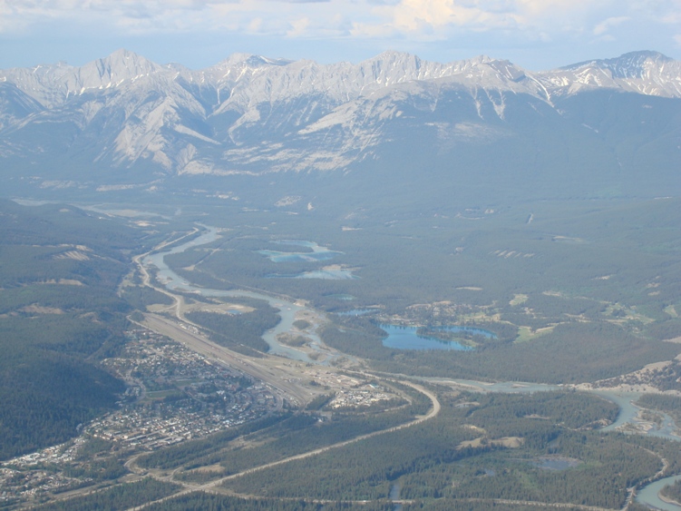
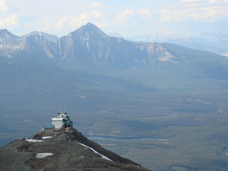
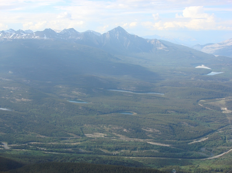
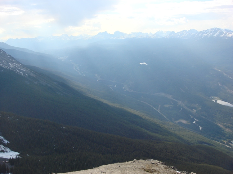
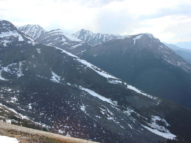
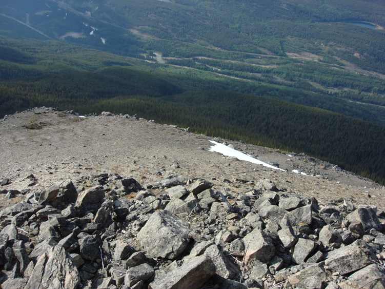
Description: You can ride the Tram almost to the top of Mount Whistler then hike another 200m to the Summit. Views from here are outstanding. You you can see 80K of mountain tops. On a clear day you can see Mount Robson (3954m) to the west, the highest peak in the Canadian Rockies. Mount Edith Cavell and the Icefields Parkway can be viewed to the south. Pyramid Mountain, Pyramid Lake, Patricia Lake, Lake Edith, Lake Annette, and the Jasper Town site can be viewed to the north.
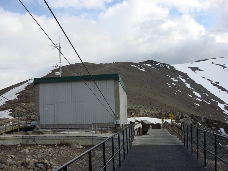
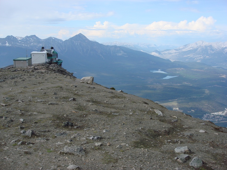
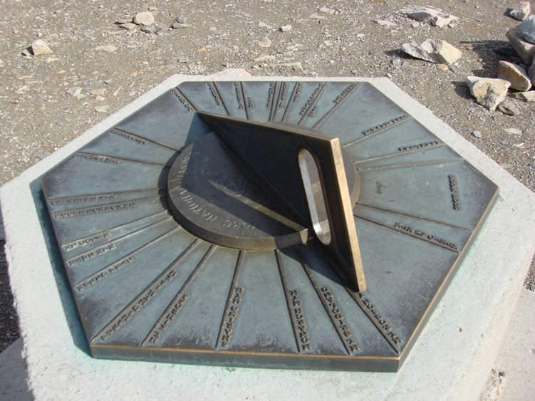
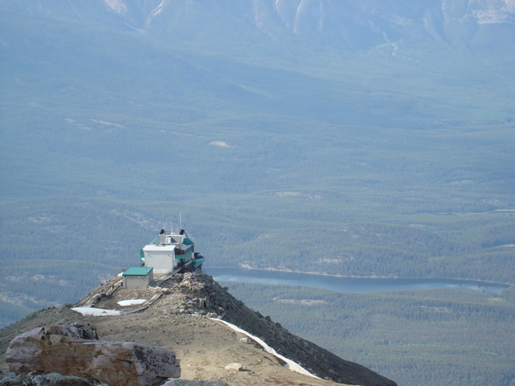
There is a restaurant and souvenir shop located at the top of the upper tramway. On the mountains summit you’ll find a brass mounted monument with mountain named markers pointing outward. These lines point and identify the prominent peaks that can be seen on the horizon.
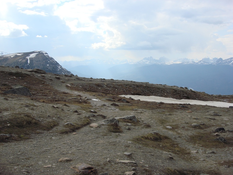
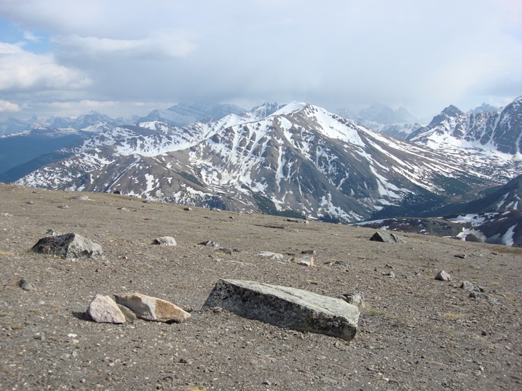
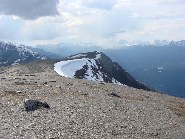
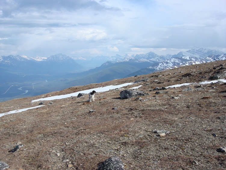
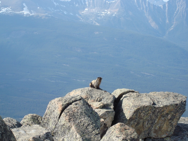
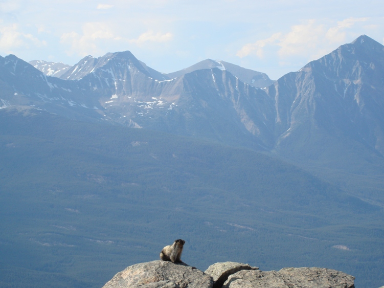
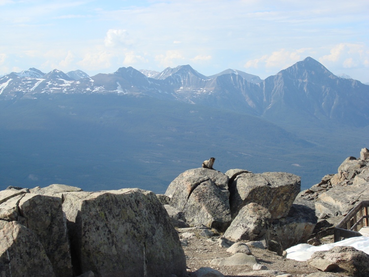
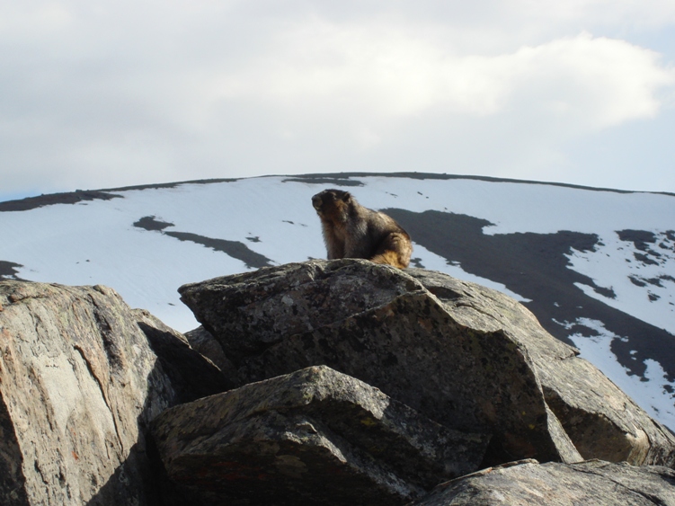
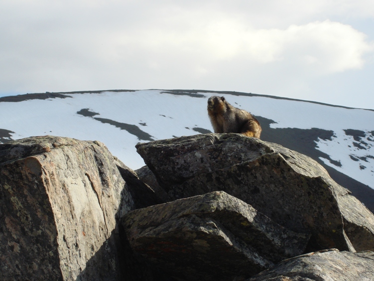
The skyway tram is an excellent starting point if you want to hike the adjoining peaks and their ridges. There is a lot to explore up top. An early start would make for an adventuress day. Hiking the high country would be best from late June on after the snow has melted. Local Marmots can be heard calling to one another and are very accustomed to people approaching them. The Hoary Marmot you see below was very interested in our dog Skoal. If you want to Hike to the top instead of taking the tram the elevation gain is over 1000m, allow 3.5 hours to hike from the parking lot to the top. You are in bear country
Items Reviewed - 1
Awesome hiking and views above the upper Tram.


Add Review