
Bald Hills Hike
- Viewed - 14
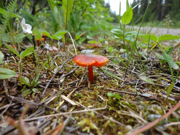
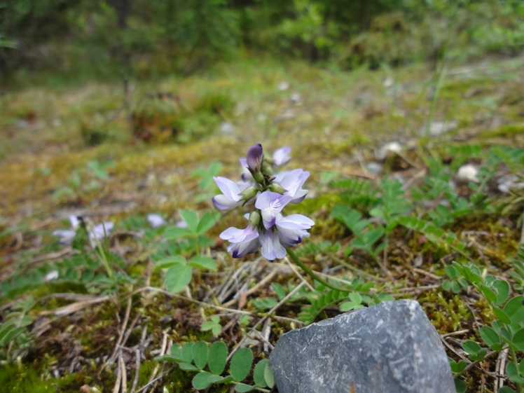
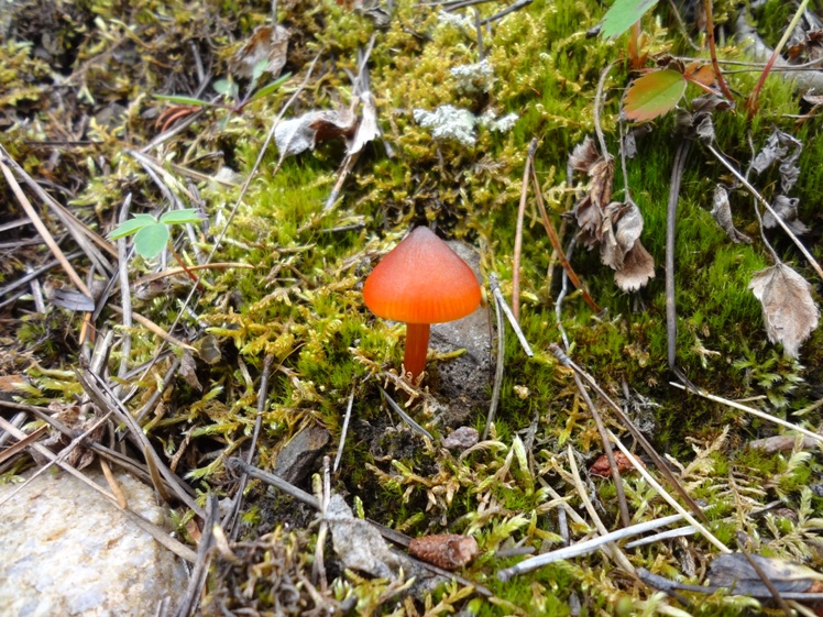
Gallery / Photos


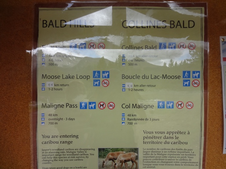
Level:
Time/Dist
Elevation Gain
Description
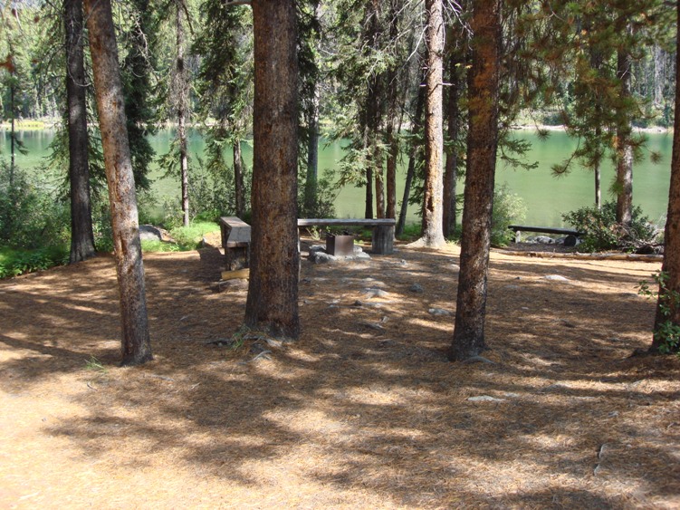
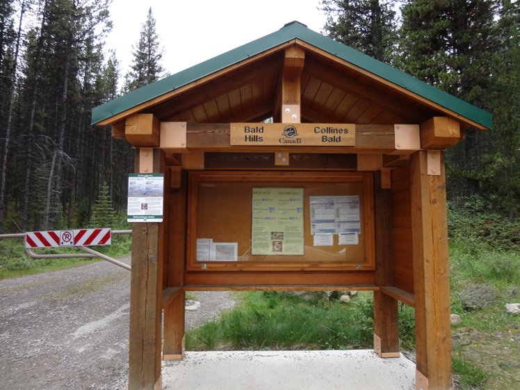
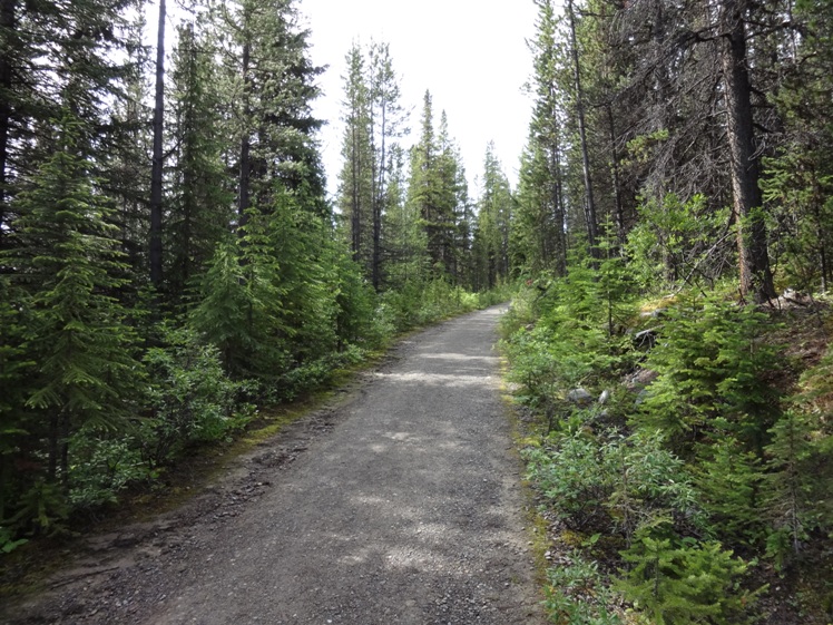
Trailhead: Located at the southwest end of the Maligne Lake parking lot approximately 56Km east of Jasper in Jasper National Park. Expect to see lots of hikers here during the summer months.
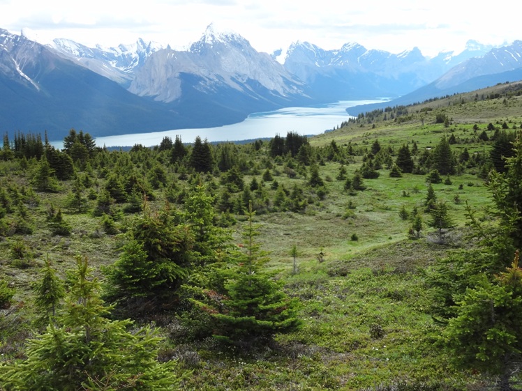
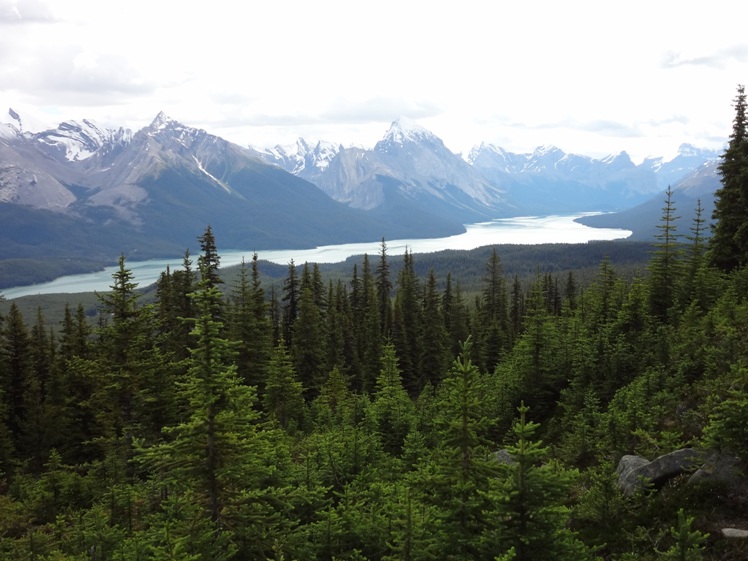
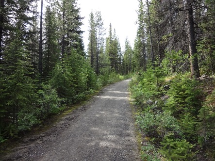
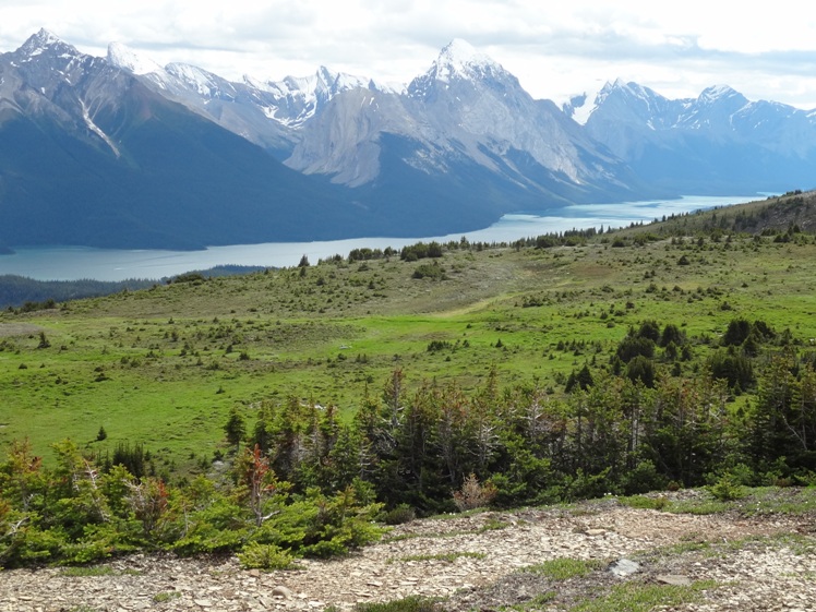
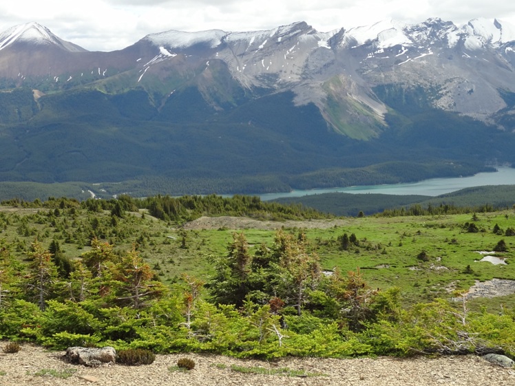
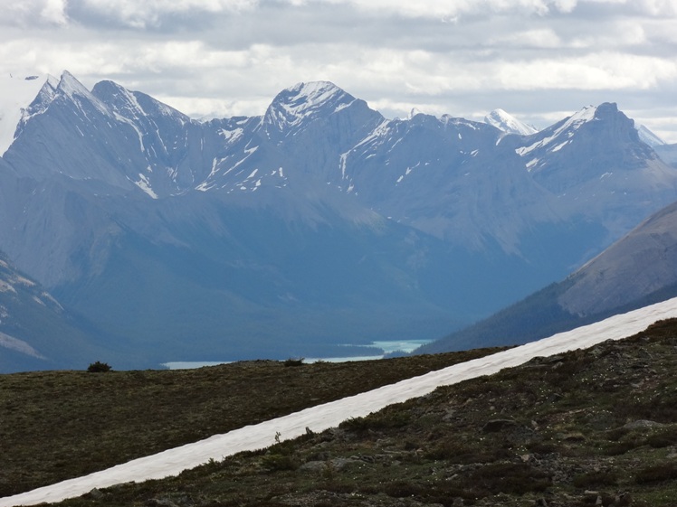
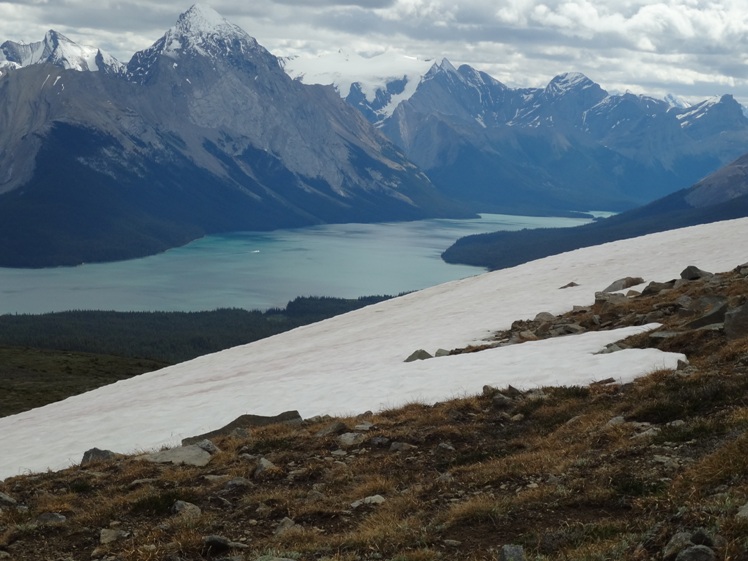
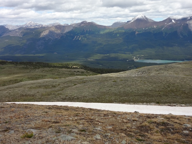
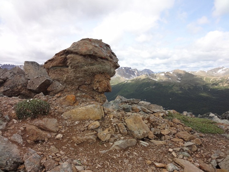
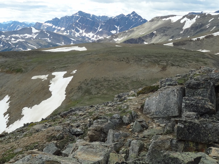
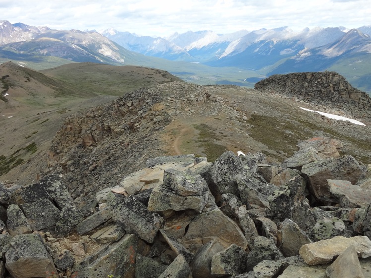
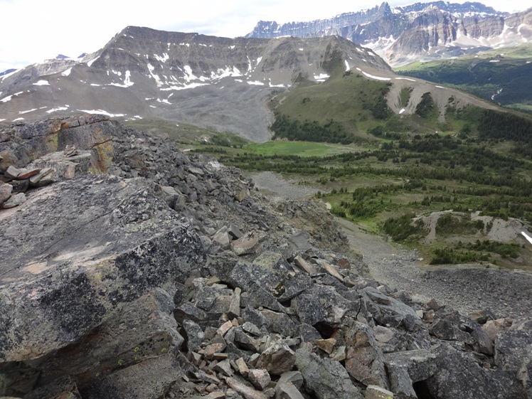
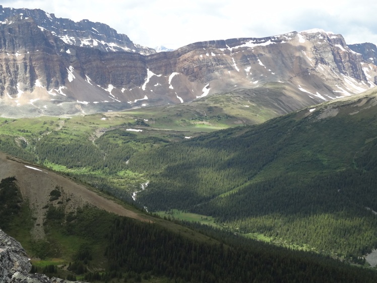
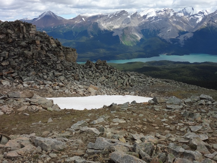
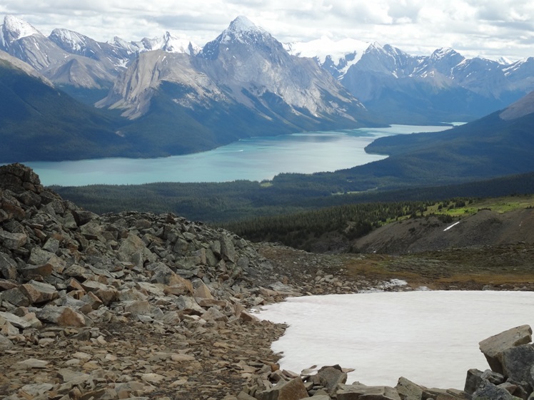
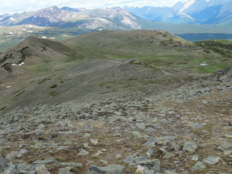
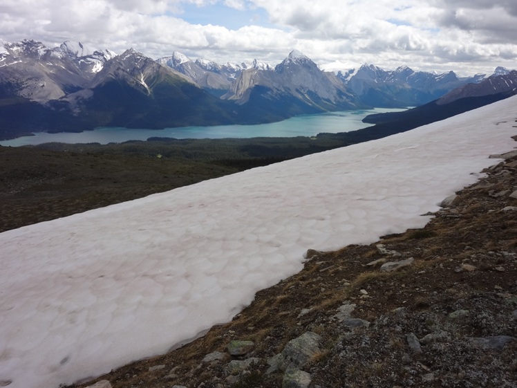
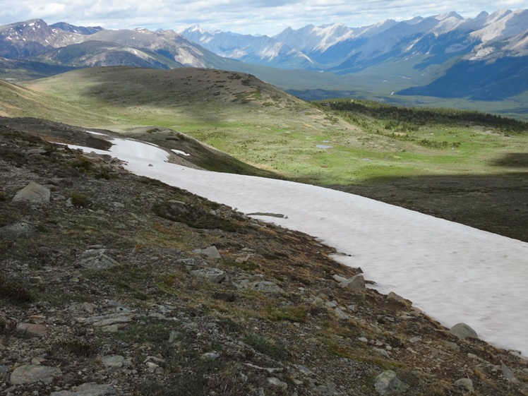
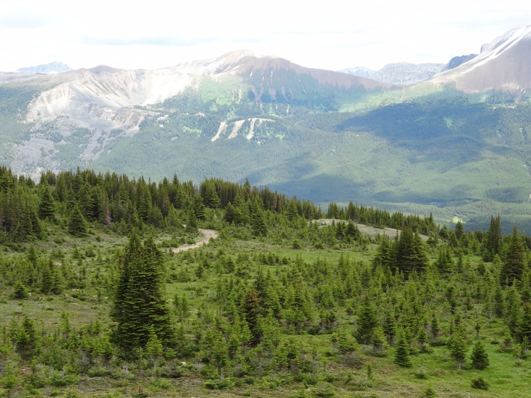
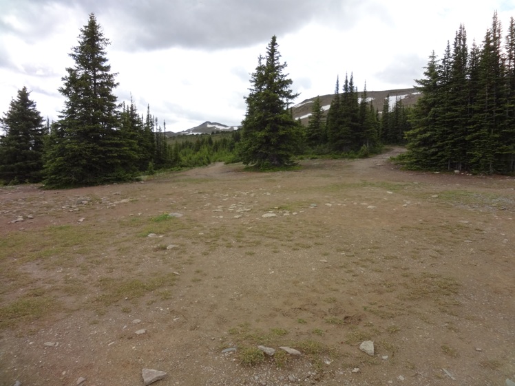
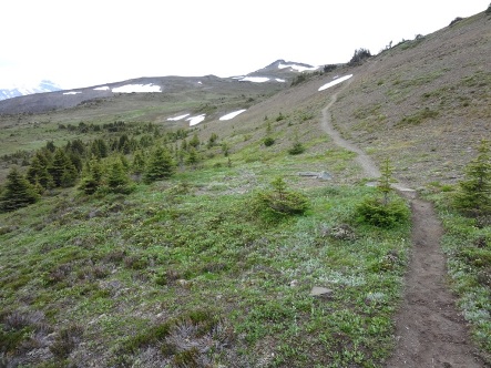
Description: Bald Hills offers excellent views of Maligne Lake and several glaciated peaks to the east. No dogs allowed here, it’s a protected Caribou range. Follow the old fire road approximately 4km. At this point you find a signed trail on your left leading straight up to the top. This optional side trail is much steeper however it will reduce the road route by about 1km. You can stay on the fire road for another 2km but you may find it a boring trudge.
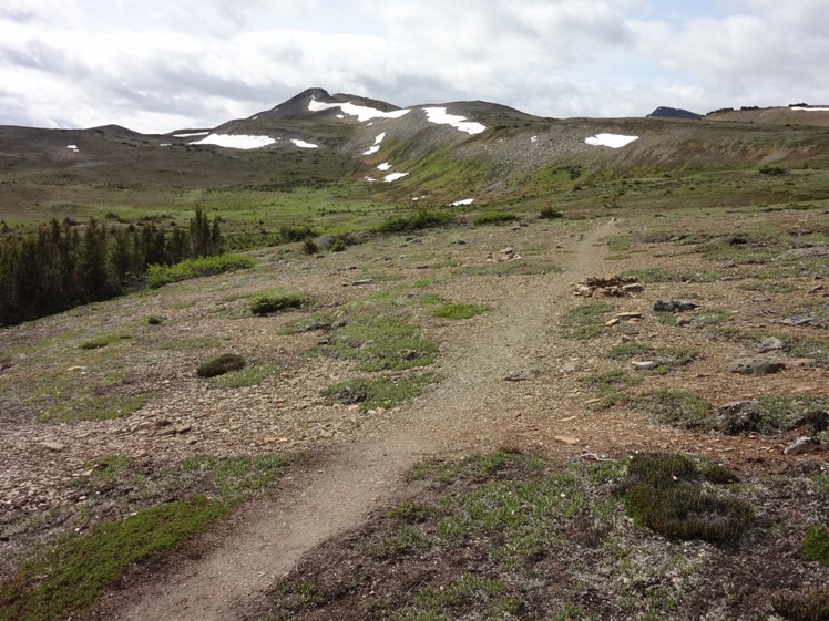
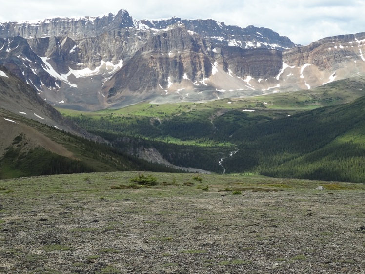
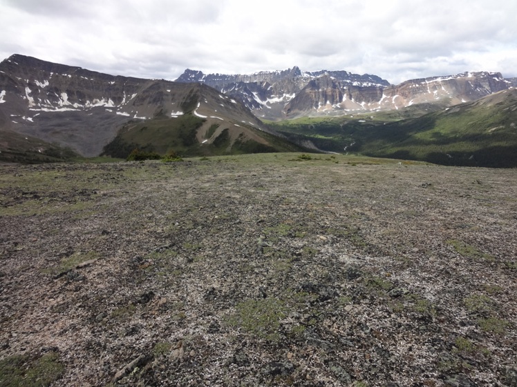
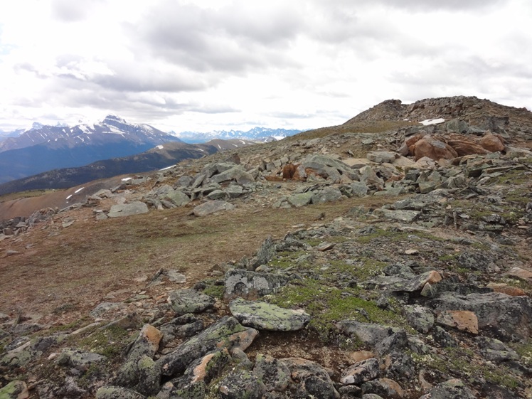
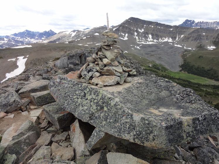
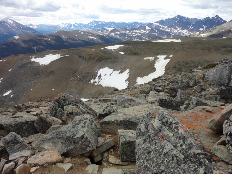
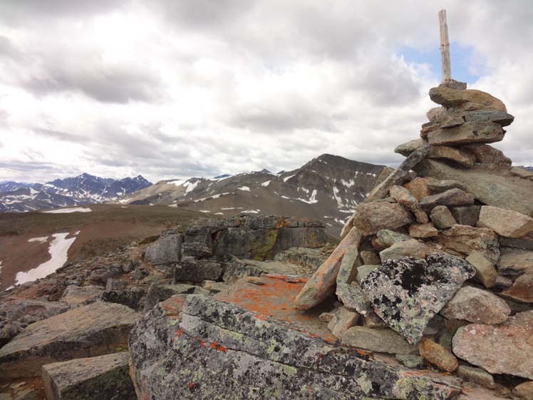
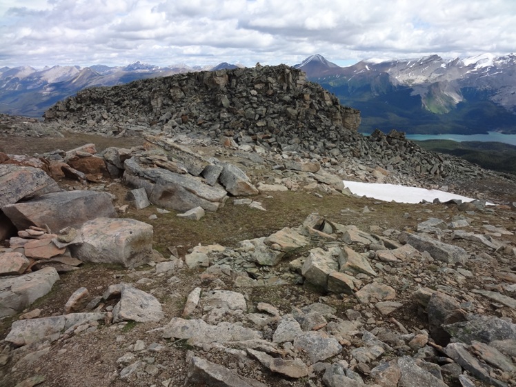
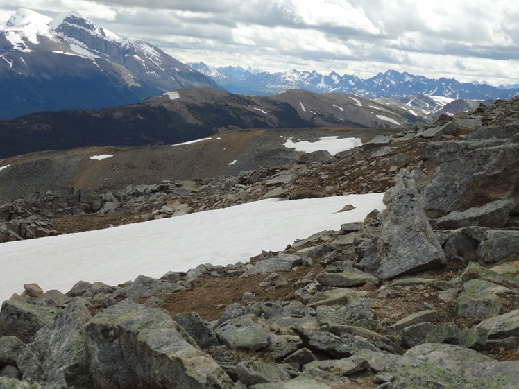
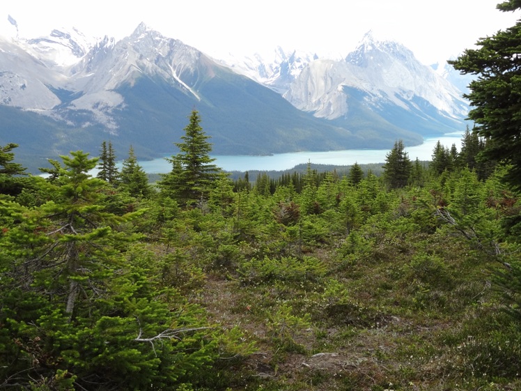
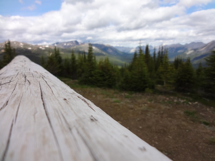
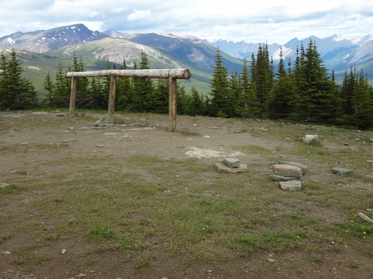
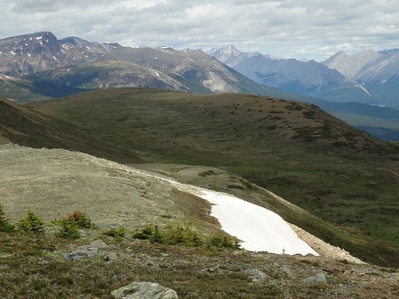
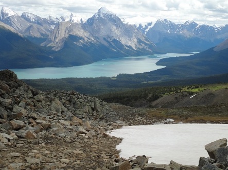
Once you arrive at the top you can keep hiking east along the ridge that leads to another rocky outcrop. Views of Maligne Lake below and Mount Paul, Mount Charlton, Charlton Glacier, Mount Unwin, Unwin Glacier, Maligne Glacier, Mount Mary Vaux, Mount Llysfran, Mount Leah and Samson Peaks are stunning. Maligne Lake has excellent Rainbow trout and Brook Trout fishing. A National Park fishing license is required if you want to try your luck.
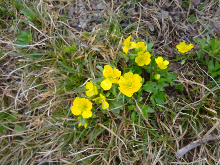
If you prefer a hike with an incredible amount of wildflowers try nearby Opal Hills Hike. In 1908 Bald hills was named by Mary Shaffer. Don’t be fooled by the term ‘Hills’. Bald Hills and nearby Opal Hills are mountainous. I think if she didn’t see a glaciated peak she called it a hill. Mary named most of the peaks near Maligne Lake while exploring this area.
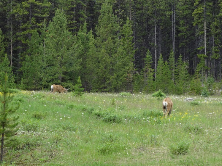
Bald Hills lookout fire road is an excellent cross country ski during the winter months. Avalanche hazard is a concern here. You are in bear country PDF
Items Reviewed - 1
Beautiful Hike. Once you top out the open wide ridge goes forever.


Add Review