
Red Rock Canyon Hike


Level:
Time/Dist
Elevation Gain
Description
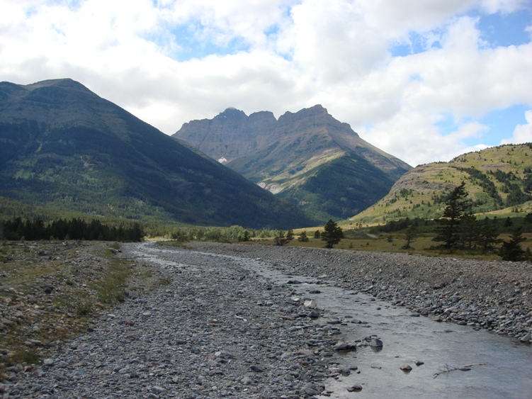
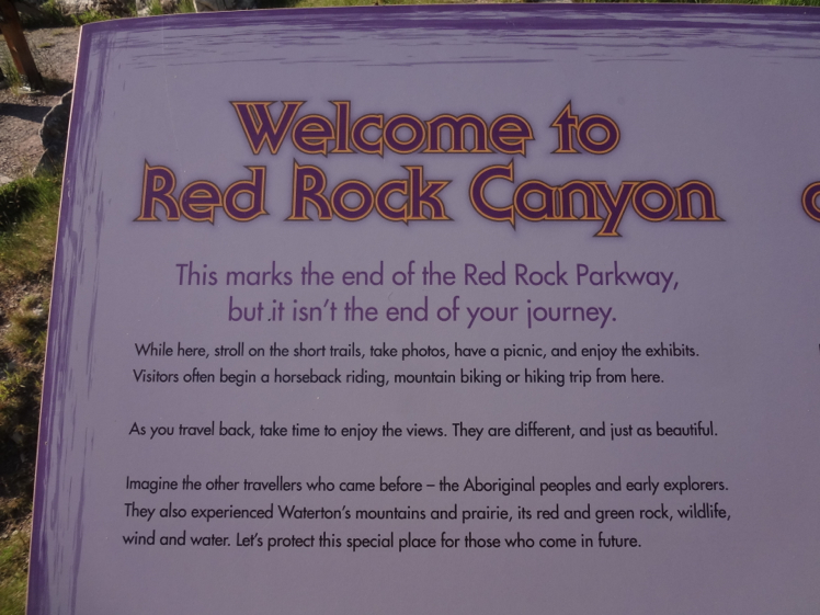
Trailhead: Located at the end of the Red Rock Parkway approximately 15km from the main highway in Waterton National Park.
Description: The Red Rock Parkway is located in a Montane ecological zone where grass lands meet mountains. Wildflowers in June and July are worth the visit alone. It’s also a good area for wildlife viewing especially early mornings.
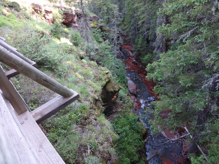
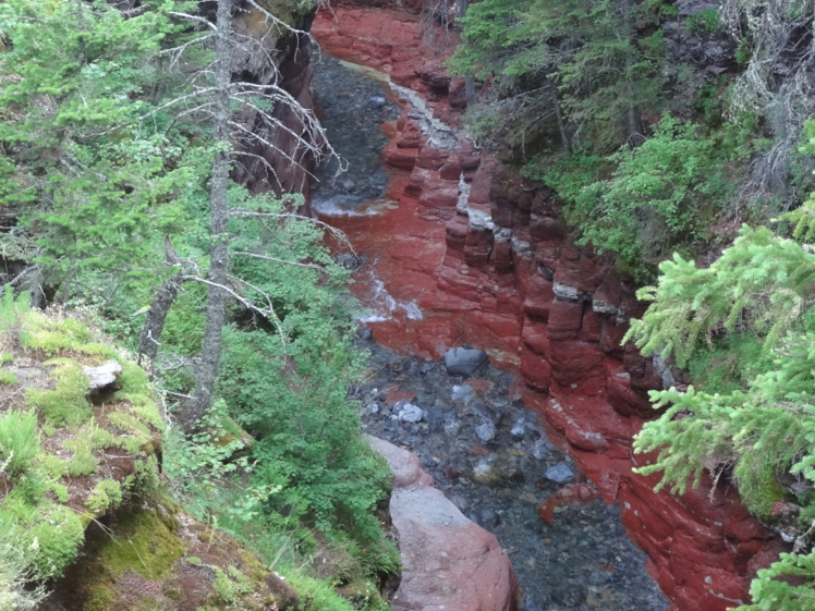
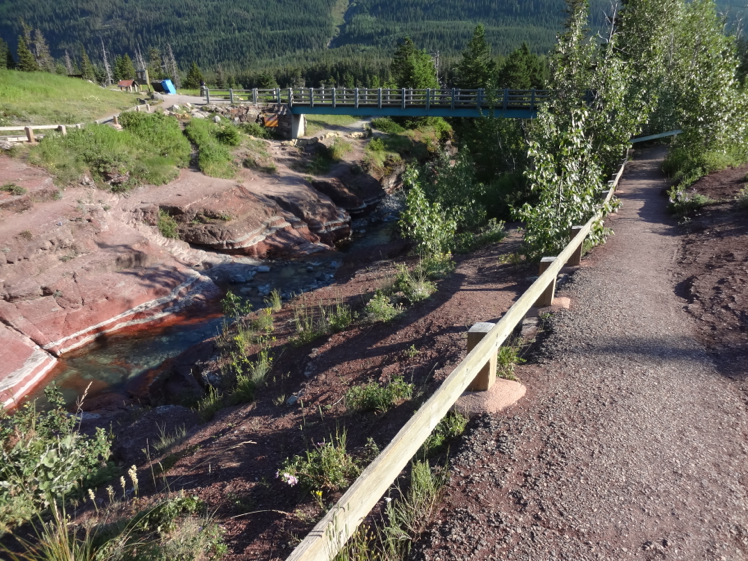
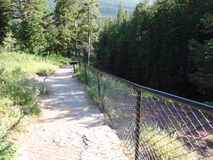
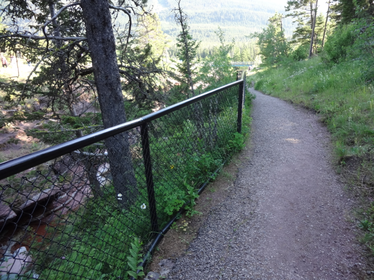
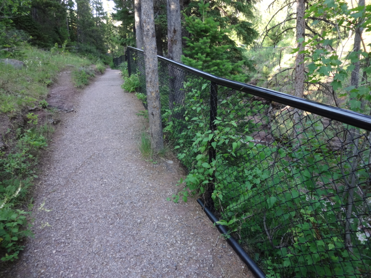
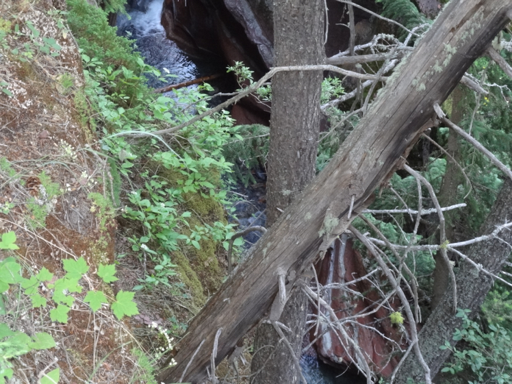
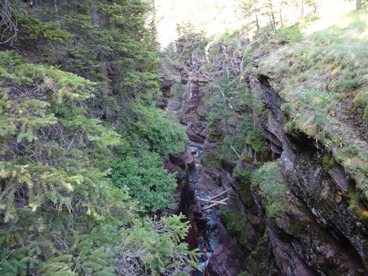
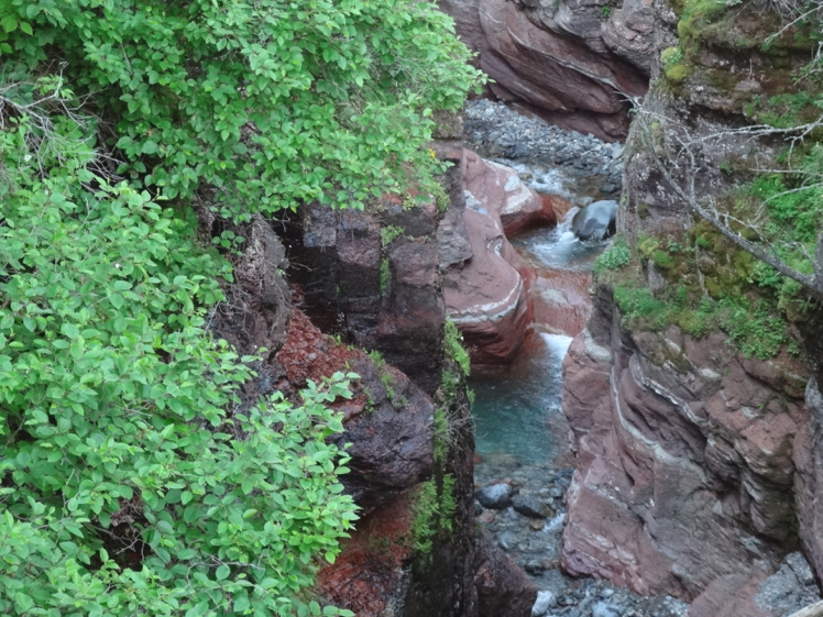
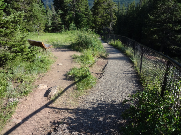
Red Rock canyon is considered more of a walk than hike. There’s a fenced paved walkway that runs along the top of the canyon. It goes up one side crosses a bridge at the top then returns back on the other side. The canyon consists of beautiful red and green layered rock with a crystal clear stream flowing at it’s bottom.
During the summer months the clear stream pools are often visited by bathers who walk upstream starting from the parking lot. If you’re staying at the Crandle Campground, nearby Blackiston Falls and Red Rock Canyon it makes for a nice evening outing.
The bridge found next to the parking lot is the start of the South Kootenay Pass trail leading towards Lone, Lost, Twin Lakes and Goat Lake. You may see horse outfitters, back packers and mountain bikers heading out from here. Expect hoards of people and little to no parking during the summer months. I would avoid taking a holiday trailer as there is no where to park it. You Are In Bear Country
Items Reviewed - 2
The canyons red shades of color are stunning.
Kelly
While more of a walk, the colours of the canyon can’t be beat. Go early to avoid crowds. The drive in is also particularly beautiful.


Add Review